Transport Functions
Rail
Road
Hub Profile
Place type
Populated place
Region
Shanghai
Time zone
Asia/Shanghai
Elevation
2 m
Logistics facilities
1
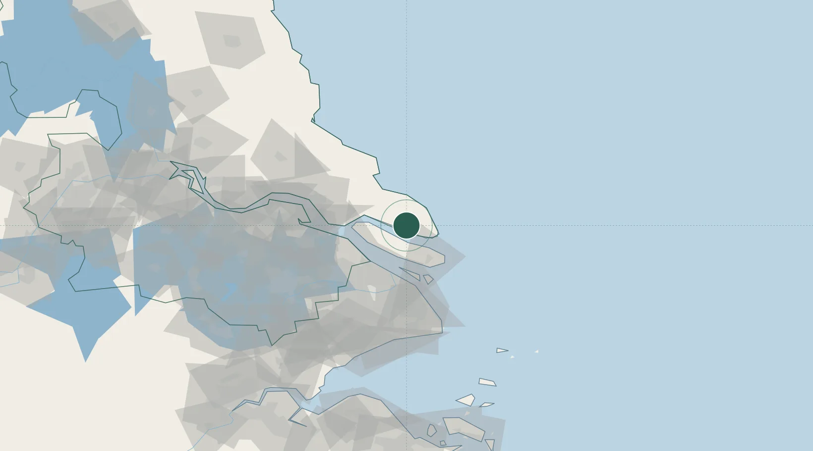
Location
Nearby Logistics Neighbours
Cities
- 1Lusi28 km
- 2Baoshan Pt46 km
- 3Chongming47 km
- 4Taicang Pt47 km
- 5Jiading61 km
Ports
- 1Taicang46 km
- 2Changshu66 km
- 3Shanghai66 km
- 4Nantong83 km
- 5Zhangjiangang120 km
Airports
DatabookThe Record of Consolidated Knowledge
China beyond logistics?