UN/LOCODE hub · United States
USH4H

Howland Hook

40.6333°, -74.1833°
1
Transport functions

Transport Functions

Port
UN/LOCODE

Hub Profile

Region
NJ
GeoNames

Location

Location of USH4H
Natural Earth 10m (public domain) · NJ · USH4H · 40.63, -74.18GoogleOSMYandex

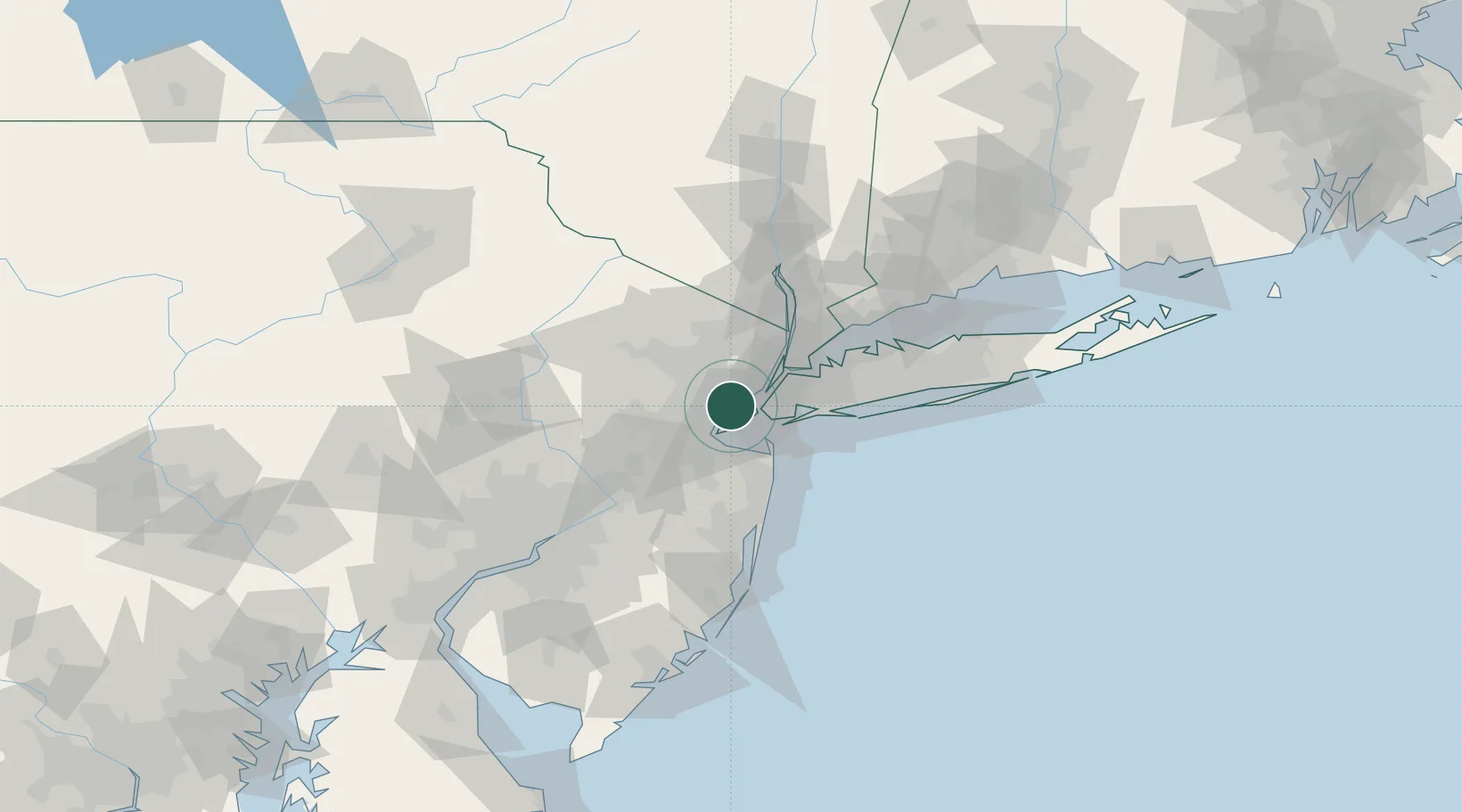
Nearby Logistics Neighbours

Cities
  1. 1Staten Island1 km
  2. 2Newark5 km
  3. 3Roselle Park6 km
  4. 4Port Newark7 km
  5. 5Bayonne8 km
Nearest neighbours — logibook spatial index (haversine) over the source coordinates
Ports
  1. 1Bayway1 km
  2. 2Elizabethport2 km
  3. 3Port Richmond SI5 km
  4. 4Carteret6 km
  5. 5Newark8 km
Nearest neighbours — logibook spatial index (haversine) over the source coordinates
Airports
  1. 1Newark Liberty International Airport6 km
  2. 2West 30th Street Heliport20 km
  3. 3New York Skyports Inc Seaplane Base21 km
  4. 4East 34th Street Heliport22 km
  5. 5Teterboro Airport26 km
Nearest neighbours — logibook spatial index (haversine) over the source coordinates
Trade Zones
  1. 1FTZ No. 049 Newark Elizabeth6 km
  2. 2FTZ No. 001 New York City17 km
  3. 3FTZ No. 044 Morris County63 km
  4. 4FTZ No. 235 Lakewood63 km
  5. 5FTZ No. 200 Mercer County69 km
Nearest neighbours — logibook spatial index (haversine) over the source coordinates
DatabookThe Record of Consolidated Knowledge
United States beyond logistics?
Browse databook

All Sources

LocationsUN/LOCODE
UN/LOCODE — free
Portsthe NGA World Port Index
Public domain (US gov)
AirportsOurAirports
Public domain
Trade Zonesthe World Bank SEZ database
CC BY 4.0
Trade ZonesOpen Zone Map
CC BY
← United States locations