Specialized Zone · Philippines

Republic Wakepark Active
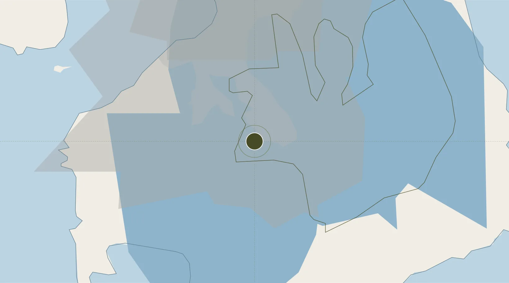
14.1974°, 121.0805°
8 ha
Zone area
44.6 km
Nearest port
35.2 km
Nearest airport

Gateway access

Nearest neighbours — logibook spatial index (haversine) over the source coordinates

Zone profile

Zone type
Specialized Zone
Open Zone Map
Specialization
Tourism
Open Zone Map
Region
Laguna
Open Zone Map
Status
Active
Open Zone Map
Management
Private
Open Zone Map
Operator
Republic Wake Parks, Inc.
Open Zone Map
Legal framework
Special Economic Zone Act (Republic Act No. 7916) (as amended by Republic Act No. 8748)
Open Zone Map

Location

Location of ozm-3918
Natural Earth 10m (public domain) · Laguna · ozm-3918 · 14.20, 121.08GoogleOSMYandex

Nearby Logistics Neighbours

Ports
  1. 1Manila45 km
  2. 2Batangas City50 km
  3. 3Nasugbu52 km
  4. 4Mariveles70 km
  5. 5Calapan88 km
Nearest neighbours — logibook spatial index (haversine) over the source coordinates
Airports
  1. 1Ninoy Aquino International Airport35 km
  2. 2Danilo Atienza Air Base38 km
  3. 3Subic Bay International Airport / Naval Air Station Cubi Point110 km
  4. 4Lubang Airport112 km
  5. 5Mamburao Airport121 km
Nearest neighbours — logibook spatial index (haversine) over the source coordinates
Cities
  1. 1Canlubang3 km
  2. 2Camarines Norte/Jose Panganiban8 km
  3. 3Biñan15 km
  4. 4Tanauan16 km
  5. 5Batangas/Luzon34 km
Nearest neighbours — logibook spatial index (haversine) over the source coordinates
Trade Zones
  1. 1NYK-TDG I.T. Park1 km
  2. 2Carmelray International Business Park 1 km
  3. 3Carmelray Industrial Park 2 km
  4. 4Filinvest Technology Park Gen. Santos City4 km
  5. 5Filinvest Technology Park - Calamba4 km
Nearest neighbours — logibook spatial index (haversine) over the source coordinates
DatabookThe Record of Consolidated Knowledge
Philippines beyond logistics?
Browse databook

All Sources

Trade ZonesOpen Zone Map
CC BY
Portsthe NGA World Port Index
Public domain (US gov)
AirportsOurAirports
Public domain
LocationsUN/LOCODE
UN/LOCODE — free
← Philippines trade zones