Diversified Zone · Philippines

YTMI Realty Special Economic Zone Active
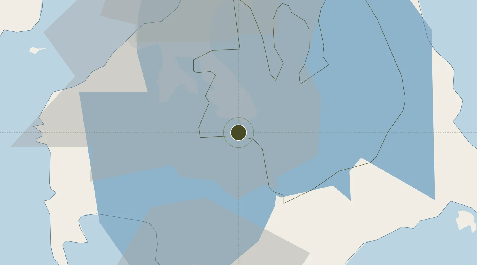
14.1578°, 121.1391°
22 ha
Zone area
46.3 km
Nearest port
41.1 km
Nearest airport

Gateway access

Nearest neighbours — logibook spatial index (haversine) over the source coordinates

Zone profile

Zone type
Diversified Zone
Open Zone Map
Region
Laguna
Open Zone Map
Status
Active
Open Zone Map
Management
Private
Open Zone Map
Operator
YTMI Realty Corporation
Open Zone Map
Legal framework
Special Economic Zone Act (Republic Act No. 7916) (as amended by Republic Act No. 8748)
Open Zone Map

Location

Location of ozm-3110
Natural Earth 10m (public domain) · Laguna · ozm-3110 · 14.16, 121.14GoogleOSMYandex

Nearby Logistics Neighbours

Ports
  1. 1Batangas City46 km
  2. 2Manila51 km
  3. 3Nasugbu57 km
  4. 4Mariveles77 km
  5. 5Calapan83 km
Nearest neighbours — logibook spatial index (haversine) over the source coordinates
Airports
  1. 1Ninoy Aquino International Airport41 km
  2. 2Danilo Atienza Air Base45 km
  3. 3Marinduque Airport116 km
  4. 4Lubang Airport117 km
  5. 5Subic Bay International Airport / Naval Air Station Cubi Point117 km
Nearest neighbours — logibook spatial index (haversine) over the source coordinates
Cities
  1. 1Camarines Norte/Jose Panganiban7 km
  2. 2Canlubang8 km
  3. 3Tanauan10 km
  4. 4Biñan20 km
  5. 5Batangas/Luzon30 km
Nearest neighbours — logibook spatial index (haversine) over the source coordinates
Trade Zones
  1. 1Geterson Agro-Industrial Economic Zone2 km
  2. 2Allegis IT Park2 km
  3. 3Geterson Ecozone2 km
  4. 4Carmelray Industrial Park II2 km
  5. 5First Philippine Industrial Park2 km
Nearest neighbours — logibook spatial index (haversine) over the source coordinates
DatabookThe Record of Consolidated Knowledge
Philippines beyond logistics?
Browse databook

All Sources

Trade ZonesOpen Zone Map
CC BY
Portsthe NGA World Port Index
Public domain (US gov)
AirportsOurAirports
Public domain
LocationsUN/LOCODE
UN/LOCODE — free
← Philippines trade zones