Specialized Zone · Philippines

HGS Cyberpark (formerly HTMT Cyber Park) Active
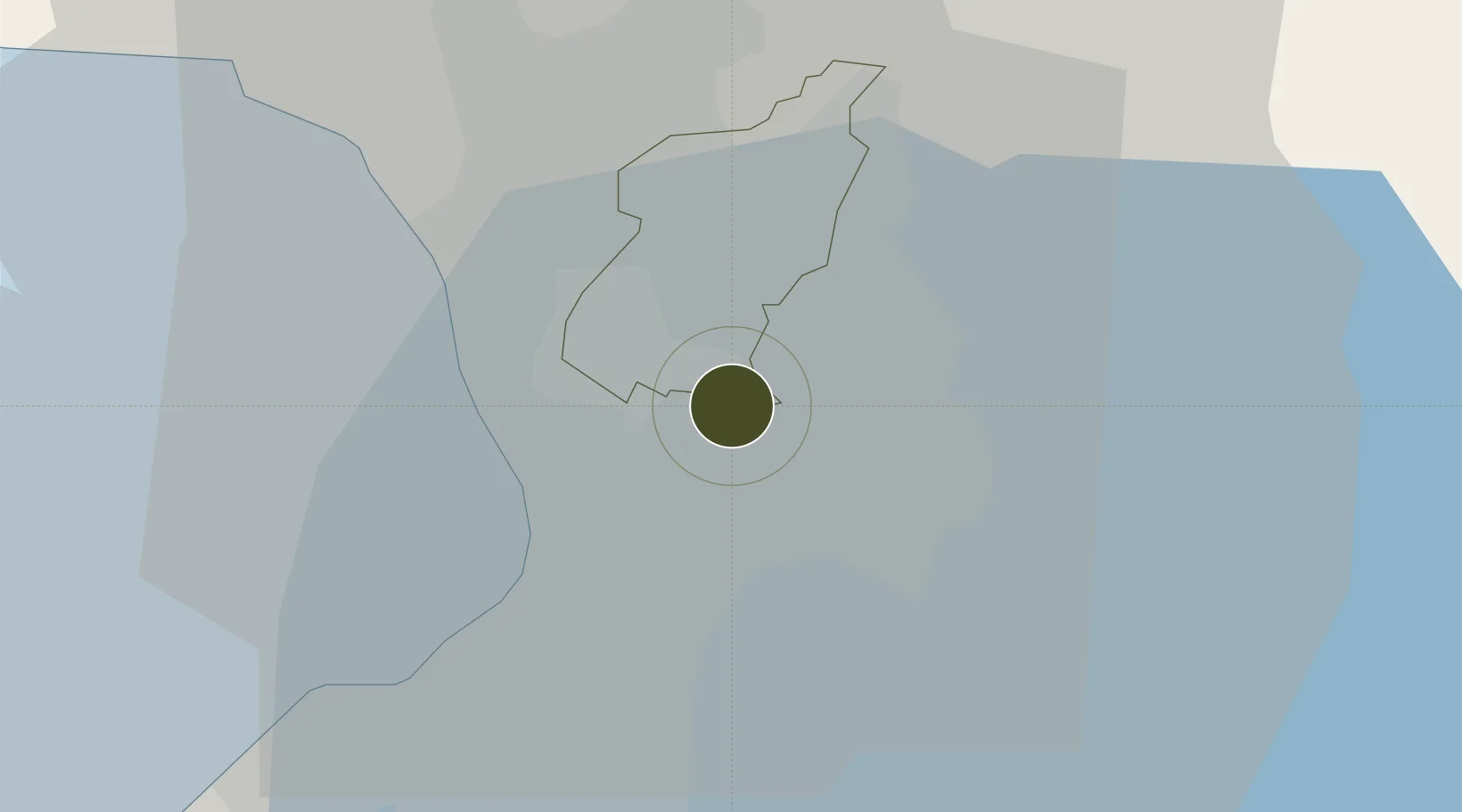
14.5955°, 121.0804°
1 ha
Zone area
12.3 km
Nearest port
11.6 km
Nearest airport

Gateway access

Nearest neighbours — logibook spatial index (haversine) over the source coordinates

Zone profile

Zone type
Specialized Zone
Open Zone Map
Specialization
IT
Open Zone Map
Region
Quezon City
Open Zone Map
Status
Active
Open Zone Map
Management
Private
Open Zone Map
Operator
TW & Company, Inc.
Open Zone Map
Legal framework
Special Economic Zone Act (Republic Act No. 7916) (as amended by Republic Act No. 8748)
Open Zone Map

Location

Location of ozm-3664
Natural Earth 10m (public domain) · Quezon City · ozm-3664 · 14.60, 121.08GoogleOSMYandex

Nearby Logistics Neighbours

Ports
  1. 1Manila12 km
  2. 2Mariveles67 km
  3. 3Nasugbu76 km
  4. 4Subic Bay90 km
  5. 5Batangas City94 km
Nearest neighbours — logibook spatial index (haversine) over the source coordinates
Airports
  1. 1Ninoy Aquino International Airport12 km
  2. 2Danilo Atienza Air Base22 km
  3. 3Clark International Airport / Clark Air Base86 km
  4. 4Subic Bay International Airport / Naval Air Station Cubi Point90 km
  5. 5Lubang Airport134 km
Nearest neighbours — logibook spatial index (haversine) over the source coordinates
Cities
  1. 1Libis2 km
  2. 2Muntinlupa City4 km
  3. 3Santa Rosa5 km
  4. 4San Juan7 km
  5. 5Quezon City7 km
Nearest neighbours — logibook spatial index (haversine) over the source coordinates
Trade Zones
  1. 1Bridgetowne (formerly Robinsons Business Park)0 km
  2. 2Silver City 41 km
  3. 3Transcom Center1 km
  4. 4Science and Technology Center1 km
  5. 5EPI Economic Zone1 km
Nearest neighbours — logibook spatial index (haversine) over the source coordinates
DatabookThe Record of Consolidated Knowledge
Philippines beyond logistics?
Browse databook

All Sources

Trade ZonesOpen Zone Map
CC BY
Portsthe NGA World Port Index
Public domain (US gov)
AirportsOurAirports
Public domain
LocationsUN/LOCODE
UN/LOCODE — free
← Philippines trade zones