Specialized Zone · Philippines

CBSUA Agri-Techno Science Hub Special Economic Zone Under Development
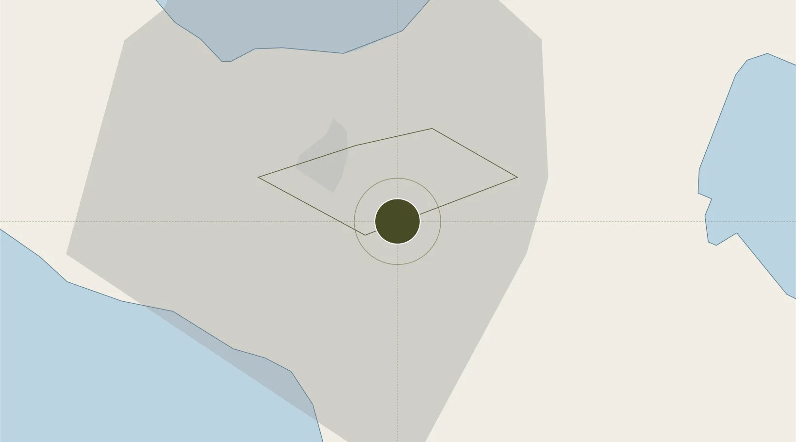
13.5812°, 123.2626°
5 ha
Zone area
56.2 km
Nearest port
0.9 km
Nearest airport

Gateway access

Nearest neighbours — logibook spatial index (haversine) over the source coordinates

Zone profile

Zone type
Specialized Zone
Open Zone Map
Specialization
Agriculture
Open Zone Map
Region
Naga
Open Zone Map
Status
Under Development
Open Zone Map
Management
Public
Open Zone Map
Operator
Central Bicol State University of Agriculture
Open Zone Map
Legal framework
Special Economic Zone Act (Republic Act No. 7916) (as amended by Republic Act No. 8748)
Open Zone Map

Location

Location of ozm-3336
Natural Earth 10m (public domain) · Naga · ozm-3336 · 13.58, 123.26GoogleOSMYandex

Nearby Logistics Neighbours

Ports
  1. 1Tabaco56 km
  2. 2Legazpi Port71 km
  3. 3Jose Panganiban100 km
  4. 4Sorsogon105 km
  5. 5Virac107 km
Nearest neighbours — logibook spatial index (haversine) over the source coordinates
Airports
  1. 1Naga Airport1 km
  2. 2Daet Airport68 km
  3. 3Bicol International Airport69 km
  4. 4Virac Airport102 km
  5. 5Moises R. Espinosa Airport141 km
Nearest neighbours — logibook spatial index (haversine) over the source coordinates
Cities
  1. 1Naga, Luzon11 km
  2. 2Tabaco/Legaspi57 km
  3. 3Legaspi Apt, Luzon73 km
  4. 4Gigmoto, Catanduanes123 km
  5. 5Changtu128 km
Nearest neighbours — logibook spatial index (haversine) over the source coordinates
Trade Zones
  1. 1Cam Sur Food Terminal1 km
  2. 2Camarines Sur Agro-Industrial Economic Zone2 km
  3. 3Camarines Sur IT Park3 km
  4. 4ALDP E-PARK8 km
  5. 5Naga City Industrial Park8 km
Nearest neighbours — logibook spatial index (haversine) over the source coordinates
DatabookThe Record of Consolidated Knowledge
Philippines beyond logistics?
Browse databook

All Sources

Trade ZonesOpen Zone Map
CC BY
Portsthe NGA World Port Index
Public domain (US gov)
AirportsOurAirports
Public domain
LocationsUN/LOCODE
UN/LOCODE — free
← Philippines trade zones