Diversified Zone · Philippines

First Philippine Industrial Park Active
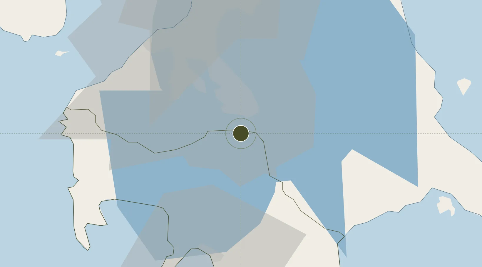
14.1372°, 121.1352°
353 ha
Zone area
44.0 km
Nearest port
43.1 km
Nearest airport

Gateway access

Nearest neighbours — logibook spatial index (haversine) over the source coordinates

Zone profile

Zone type
Diversified Zone
Open Zone Map
Region
Batangas
Open Zone Map
Status
Active
Open Zone Map
Management
Private
Open Zone Map
Operator
First Philippine Industrial Park Inc.
Open Zone Map
Legal framework
Special Economic Zone Act (Republic Act No. 7916) (as amended by Republic Act No. 8748)
Open Zone Map

Location

Location of ozm-3221
Natural Earth 10m (public domain) · Batangas · ozm-3221 · 14.14, 121.14GoogleOSMYandex

Nearby Logistics Neighbours

Ports
  1. 1Batangas City44 km
  2. 2Manila53 km
  3. 3Nasugbu56 km
  4. 4Mariveles78 km
  5. 5Calapan80 km
Nearest neighbours — logibook spatial index (haversine) over the source coordinates
Airports
  1. 1Ninoy Aquino International Airport43 km
  2. 2Danilo Atienza Air Base47 km
  3. 3Marinduque Airport114 km
  4. 4Lubang Airport116 km
  5. 5Mamburao Airport118 km
Nearest neighbours — logibook spatial index (haversine) over the source coordinates
Cities
  1. 1Tanauan8 km
  2. 2Camarines Norte/Jose Panganiban10 km
  3. 3Canlubang10 km
  4. 4Biñan23 km
  5. 5Batangas/Luzon28 km
Nearest neighbours — logibook spatial index (haversine) over the source coordinates
Trade Zones
  1. 1Geterson Ecozone1 km
  2. 2First Philippine Industrial Park II1 km
  3. 3Geterson Agro-Industrial Economic Zone1 km
  4. 4First Philippine Industrial Park 2 km
  5. 5Light Industry & Science Park III2 km
Nearest neighbours — logibook spatial index (haversine) over the source coordinates
DatabookThe Record of Consolidated Knowledge
Philippines beyond logistics?
Browse databook

All Sources

Trade ZonesOpen Zone Map
CC BY
Portsthe NGA World Port Index
Public domain (US gov)
AirportsOurAirports
Public domain
LocationsUN/LOCODE
UN/LOCODE — free
← Philippines trade zones