ECOzone · Philippines

First Philippine Industrial Park Under Development
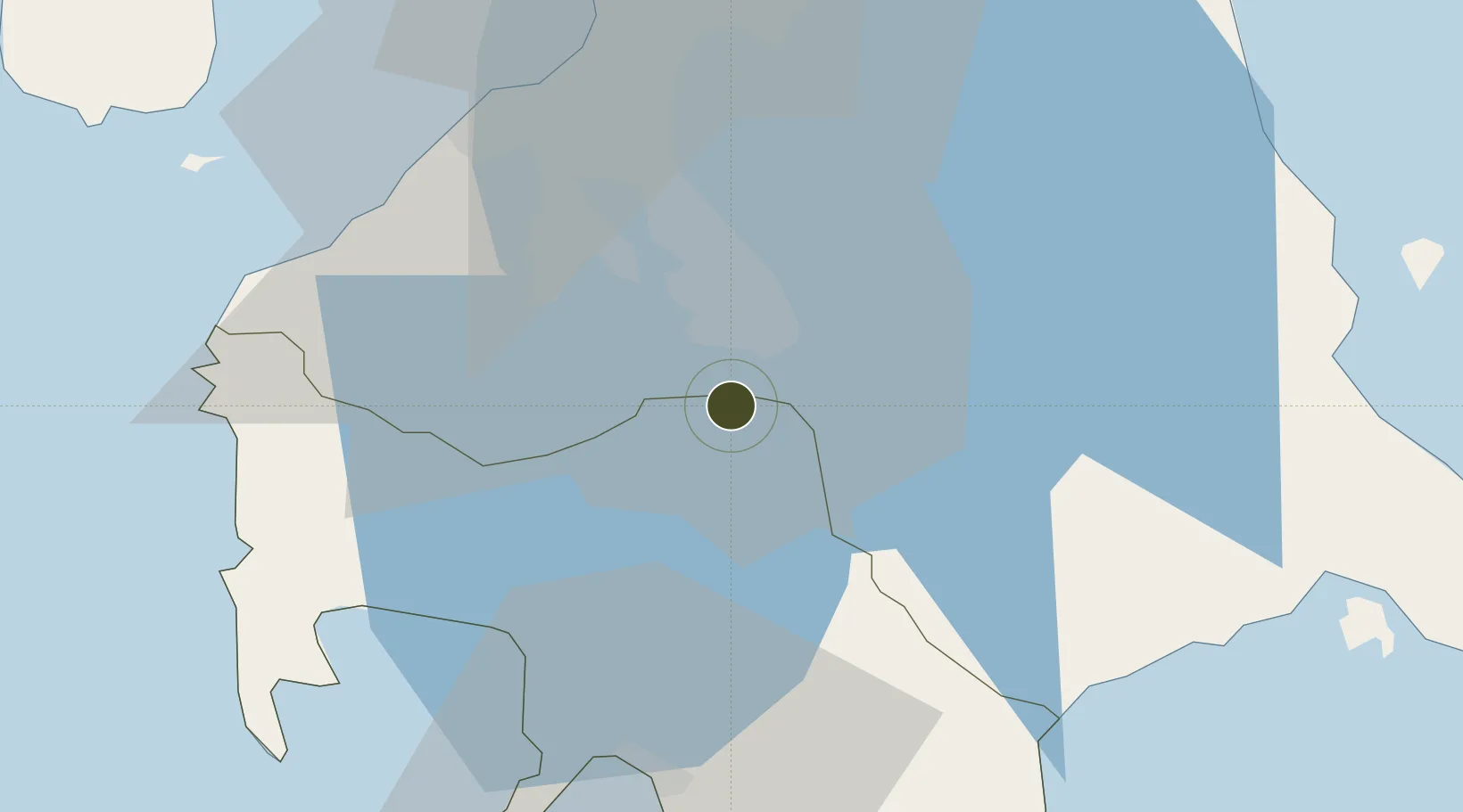
14.1372°, 121.1211°
35 ha
Zone area
43.7 km
Nearest port
42.7 km
Nearest airport

Gateway access

Nearest neighbours — logibook spatial index (haversine) over the source coordinates

Zone profile

Zone type
ECOzone
the World Bank SEZ database
Region
Batangas
the World Bank SEZ database
Status
Under Development
the World Bank SEZ database
Established
1998
the World Bank SEZ database
Management
Private management
the World Bank SEZ database
Operator
First Philippine Industrial Park Inc.
the World Bank SEZ database
Regulatory authority
Philippines Economic Zone Authority
the World Bank SEZ database
Legal framework
Special Economic Zone Act
the World Bank SEZ database

Location

Location of PHL13
Natural Earth 10m (public domain) · Batangas · PHL13 · 14.14, 121.12GoogleOSMYandex

Fiscal & incentives

Corporate tax
30%
the World Bank SEZ database
Tax relief
100% exempt
the World Bank SEZ database
Relief duration
4-8 years
the World Bank SEZ database
VAT
100% exempt from VAT on utility charges
the World Bank SEZ database
Import duty (inputs)
100% exempt
the World Bank SEZ database
Import duty (capex)
100% exempt
the World Bank SEZ database
Profit repatriation
No exemption
the World Bank SEZ database
Capital gains
No exemption
the World Bank SEZ database
Withholding tax
100% exempt from withholding tax
the World Bank SEZ database
Min. investment
None
the World Bank SEZ database
Min. export
70% for manufacturing and IT industries
the World Bank SEZ database
Employment incentive
No exemption
the World Bank SEZ database
Developer incentive
Yes
the World Bank SEZ database

Nearby Logistics Neighbours

Ports
  1. 1Batangas City44 km
  2. 2Manila52 km
  3. 3Nasugbu55 km
  4. 4Mariveles76 km
  5. 5Calapan80 km
Nearest neighbours — logibook spatial index (haversine) over the source coordinates
Airports
  1. 1Ninoy Aquino International Airport43 km
  2. 2Danilo Atienza Air Base46 km
  3. 3Lubang Airport114 km
  4. 4Marinduque Airport115 km
  5. 5Subic Bay International Airport / Naval Air Station Cubi Point117 km
Nearest neighbours — logibook spatial index (haversine) over the source coordinates
Cities
  1. 1Tanauan8 km
  2. 2Canlubang9 km
  3. 3Camarines Norte/Jose Panganiban10 km
  4. 4Biñan22 km
  5. 5Batangas/Luzon27 km
Nearest neighbours — logibook spatial index (haversine) over the source coordinates
Trade Zones
  1. 1First Philippine Industrial Park II1 km
  2. 2Geterson Agro-Industrial Economic Zone2 km
  3. 3First Philippine Industrial Park2 km
  4. 4Geterson Ecozone2 km
  5. 5Filinvest Technology Park Tanauan2 km
Nearest neighbours — logibook spatial index (haversine) over the source coordinates
DatabookThe Record of Consolidated Knowledge
Philippines beyond logistics?
Browse databook

All Sources

Trade Zonesthe World Bank SEZ database
CC BY 4.0
Portsthe NGA World Port Index
Public domain (US gov)
AirportsOurAirports
Public domain
LocationsUN/LOCODE
UN/LOCODE — free
← Philippines trade zones