UN/LOCODE hub · Germany
DEWVD

Elsdorf

53.2333°, 92.1667°
1
Transport functions

Transport Functions

Multimodal
UN/LOCODE

Hub Profile

Place type
Populated place
GeoNames
Region
Saxony
GeoNames
Time zone
Europe/Berlin
GeoNames
Elevation
238 m
GeoNames

Location

Location of DEWVD
Natural Earth 10m (public domain) · Saxony · DEWVD · 53.23, 92.17GoogleOSMYandex

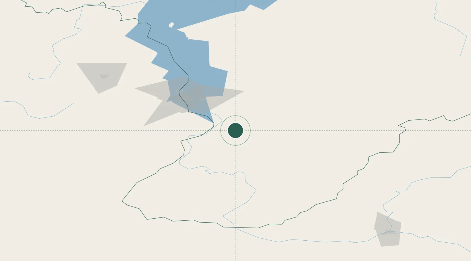
Nearby Logistics Neighbours

Cities
  1. 1Krasnoturansk127 km
  2. 2Kursk155 km
  3. 3Gammelby217 km
  4. 4Bazaikha307 km
  5. 5Krasnojarsk314 km
Nearest neighbours — logibook spatial index (haversine) over the source coordinates
Ports
  1. 1Igarka1610 km
  2. 2Dudinka1824 km
  3. 3Port Dikson2318 km
  4. 4Tianjin Xin Gang2513 km
  5. 5Qinhuangdao2541 km
Nearest neighbours — logibook spatial index (haversine) over the source coordinates
Airports
  1. 1Shushenskoye Airport19 km
  2. 2Abakan International Airport77 km
  3. 3Kyzyl Airport231 km
  4. 4Krasnoyarsk International Airport328 km
  5. 5Krasnoyarsk Cheremshanka Airport328 km
Nearest neighbours — logibook spatial index (haversine) over the source coordinates
Trade Zones
  1. 1Tsagaannuur Special Economic Zone454 km
  2. 2Altai Valley Special Economic Zone464 km
  3. 3Turquoise Katun Tourism Zone497 km
  4. 4Tomsk Technology Innovative Special Economic Zone581 km
  5. 5Heilongjiang Fuyun Industrial Park723 km
Nearest neighbours — logibook spatial index (haversine) over the source coordinates
DatabookThe Record of Consolidated Knowledge
Germany beyond logistics?
Browse databook

All Sources

LocationsUN/LOCODE
UN/LOCODE — free
Portsthe NGA World Port Index
Public domain (US gov)
AirportsOurAirports
Public domain
Trade Zonesthe World Bank SEZ database
CC BY 4.0
Trade ZonesOpen Zone Map
CC BY
← Germany locations