Transport Functions
Multimodal
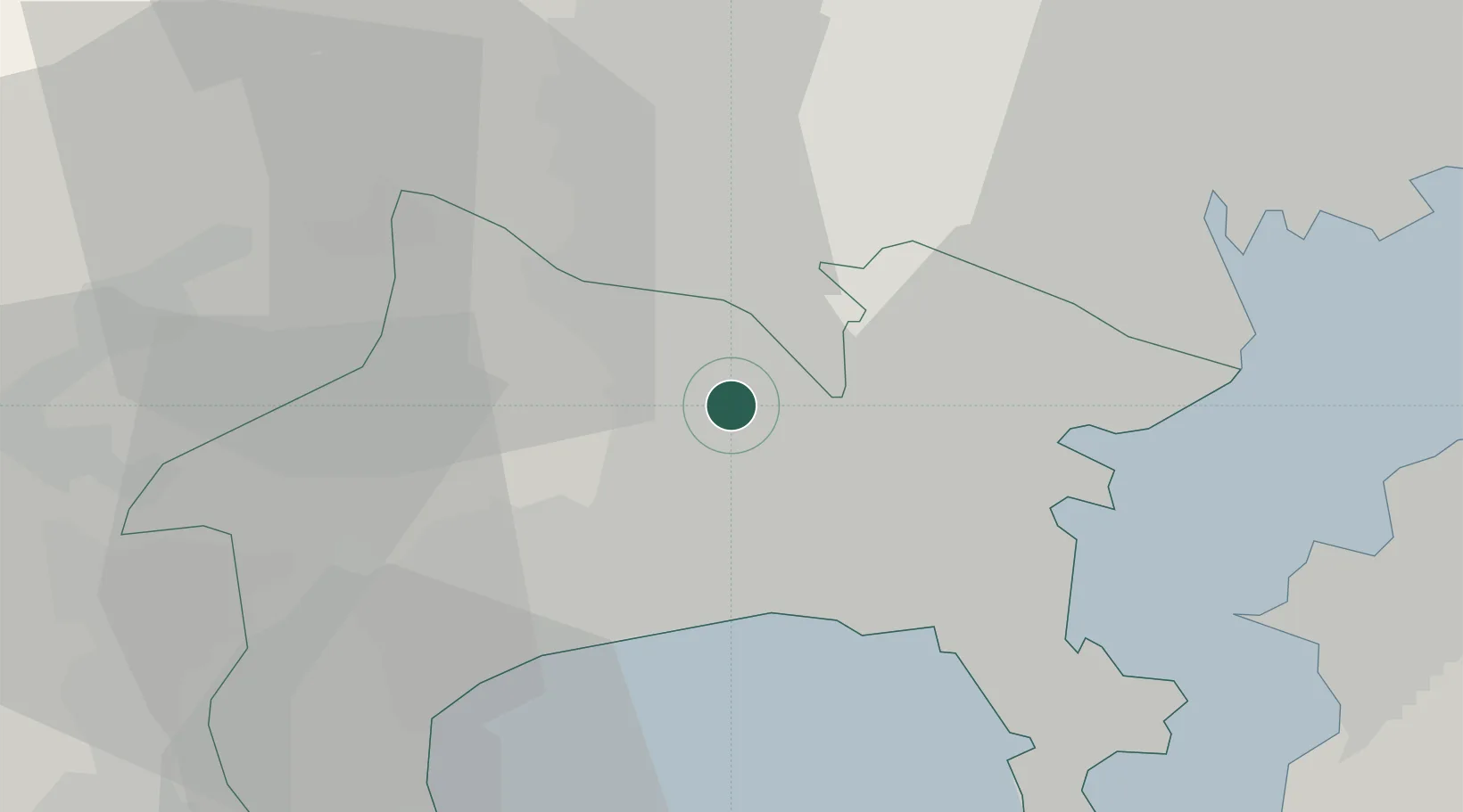
Hub Profile
Place type
Provincial seat
Region
Kanagawa
Population
132,325
Time zone
Asia/Tokyo
Elevation
32 m
Location
Nearby Logistics Neighbours
Cities
- 1Ebina-Shi Kanagawa8 km
- 2Tsuzuki Ku18 km
- 3Fujisawa18 km
- 4Chigasaki19 km
- 5Hiratsuka19 km
Ports
- 1Yokohama Ko19 km
- 2Yokosuka Ko34 km
- 3Kawasaki Ko35 km
- 4Tokyo Ko39 km
- 5Uraga Ko41 km
Airports
DatabookThe Record of Consolidated Knowledge
Japan beyond logistics?