UN/LOCODE hub · Japan
JPBIN

Ebina-Shi Kanagawa

35.4167°, 139.4000°
1
Transport functions

Transport Functions

Multimodal
UN/LOCODE

Hub Profile

Region
14
GeoNames

Location

Location of JPBIN
Natural Earth 10m (public domain) · 14 · JPBIN · 35.42, 139.40GoogleOSMYandex

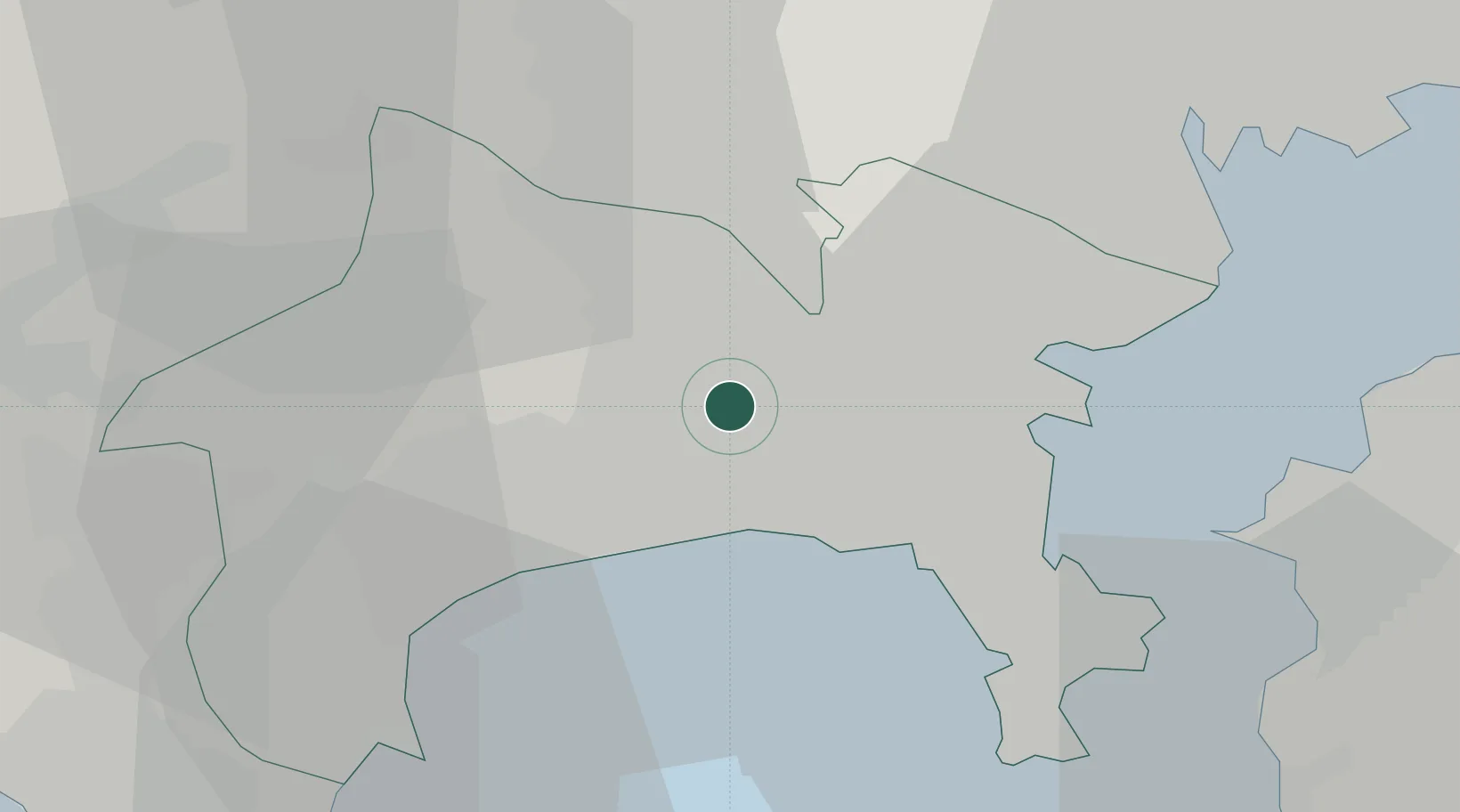
Nearby Logistics Neighbours

Cities
  1. 1Zama8 km
  2. 2Fujisawa11 km
  3. 3Chigasaki11 km
  4. 4Hiratsuka12 km
  5. 5Ninomiya19 km
Nearest neighbours — logibook spatial index (haversine) over the source coordinates
Ports
  1. 1Yokohama Ko17 km
  2. 2Yokosuka Ko28 km
  3. 3Kawasaki Ko35 km
  4. 4Uraga Ko35 km
  5. 5Tokyo Ko42 km
Nearest neighbours — logibook spatial index (haversine) over the source coordinates
Airports
  1. 1JMSDF Atsugi Air Base / Naval Air Facility Atsugi6 km
  2. 2Chofu Airport31 km
  3. 3Yokota Air Base37 km
  4. 4Tokyo Haneda International Airport38 km
  5. 5JGSDF Kisarazu Airfield46 km
Nearest neighbours — logibook spatial index (haversine) over the source coordinates
DatabookThe Record of Consolidated Knowledge
Japan beyond logistics?
Browse databook

All Sources

LocationsUN/LOCODE
UN/LOCODE — free
Portsthe NGA World Port Index
Public domain (US gov)
AirportsOurAirports
Public domain
Trade Zonesthe World Bank SEZ database
CC BY 4.0
Trade ZonesOpen Zone Map
CC BY
← Japan locations