Transport Functions
Multimodal
Hub Profile
Place type
District seat
Region
Lombardy
Population
2,642
Time zone
Europe/Rome
Elevation
939 m
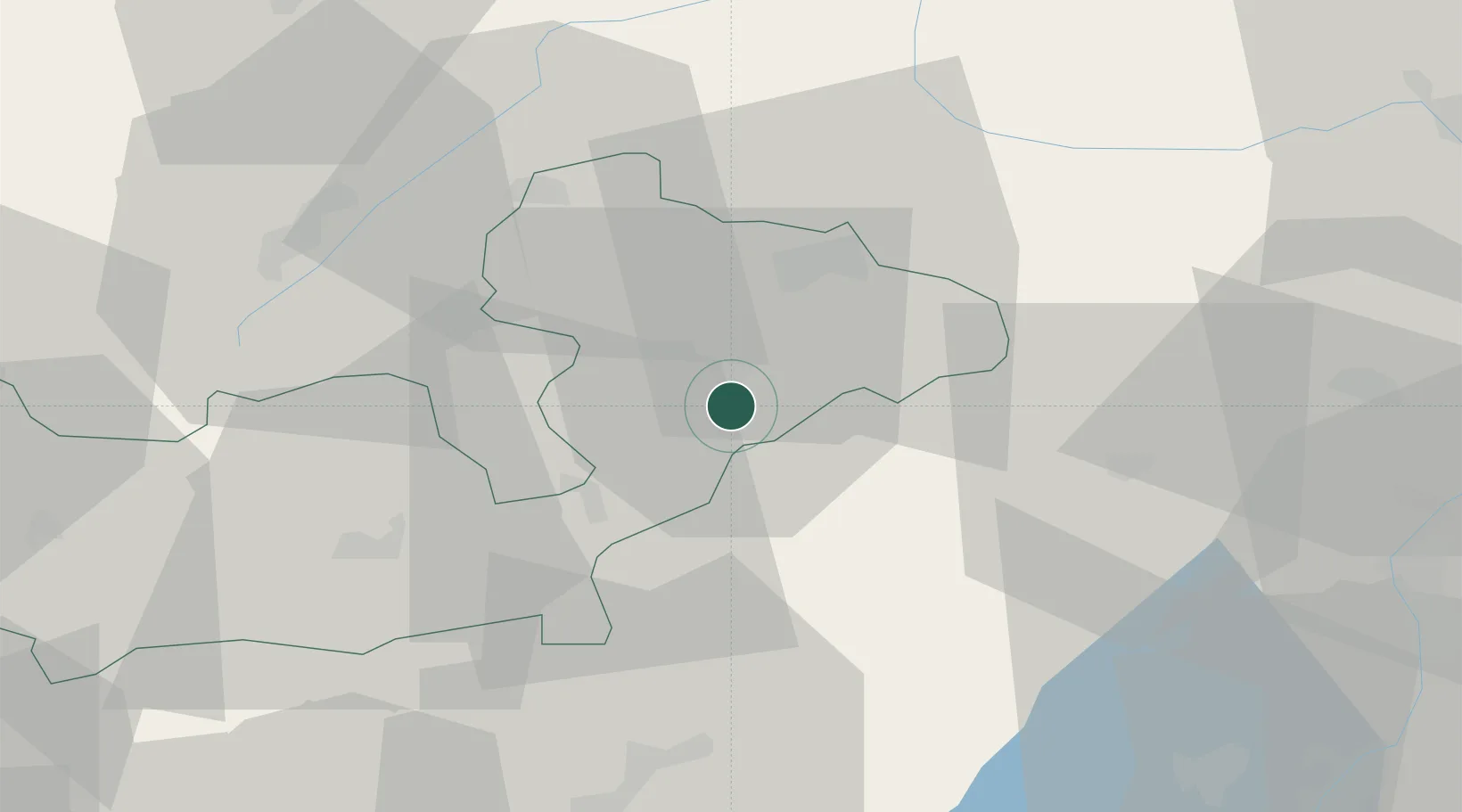
Location
Nearby Logistics Neighbours
Cities
- 1Tovo di Sant'Agata11 km
- 2Livigno29 km
- 3Chiuro32 km
- 4Tornata38 km
- 5Poggiridenti38 km
Ports
- 1Porto Di Lido-Venezia193 km
- 2Porto Di Chioggia197 km
- 3Nogaro229 km
- 4Porto Garibaldi238 km
- 5Chiavari - Lavagna239 km
Airports
- 1Engadin Airport40 km
- 2Trento-Mattarello Airport71 km
- 3Bolzano Airport79 km
- 4Il Caravaggio International Airport88 km
- 5Ghedi Air Base100 km
Trade Zones
DatabookThe Record of Consolidated Knowledge
Italy beyond logistics?