Transport Functions
Road
Multimodal
Hub Profile
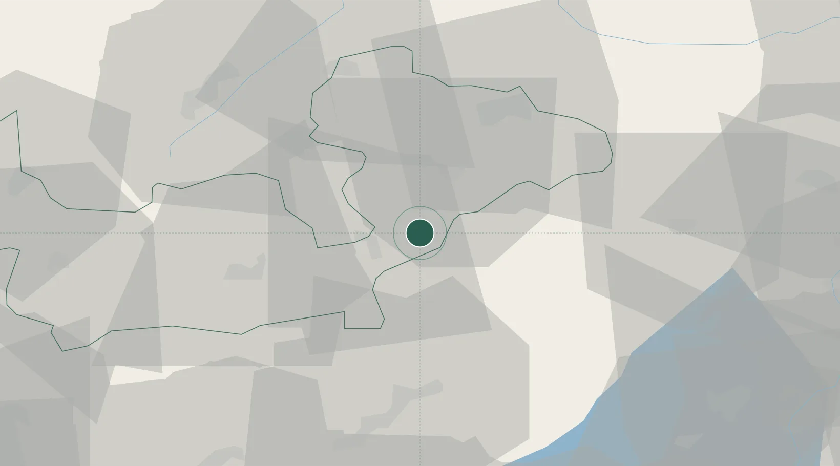
Place type
District seat
Region
Lombardy
Population
620
Time zone
Europe/Rome
Elevation
526 m
Location
Nearby Logistics Neighbours
Cities
- 1Sondalo11 km
- 2Chiuro23 km
- 3Poggiridenti30 km
- 4Tornata31 km
- 5Cividate Camuno34 km
Ports
- 1Porto Di Lido-Venezia193 km
- 2Porto Di Chioggia195 km
- 3Chiavari - Lavagna228 km
- 4Genova231 km
- 5Nogaro232 km
Airports
- 1Engadin Airport42 km
- 2Trento-Mattarello Airport72 km
- 3Il Caravaggio International Airport77 km
- 4Bolzano Airport86 km
- 5Ghedi Air Base91 km
Trade Zones
DatabookThe Record of Consolidated Knowledge
Italy beyond logistics?