Transport Functions
Port
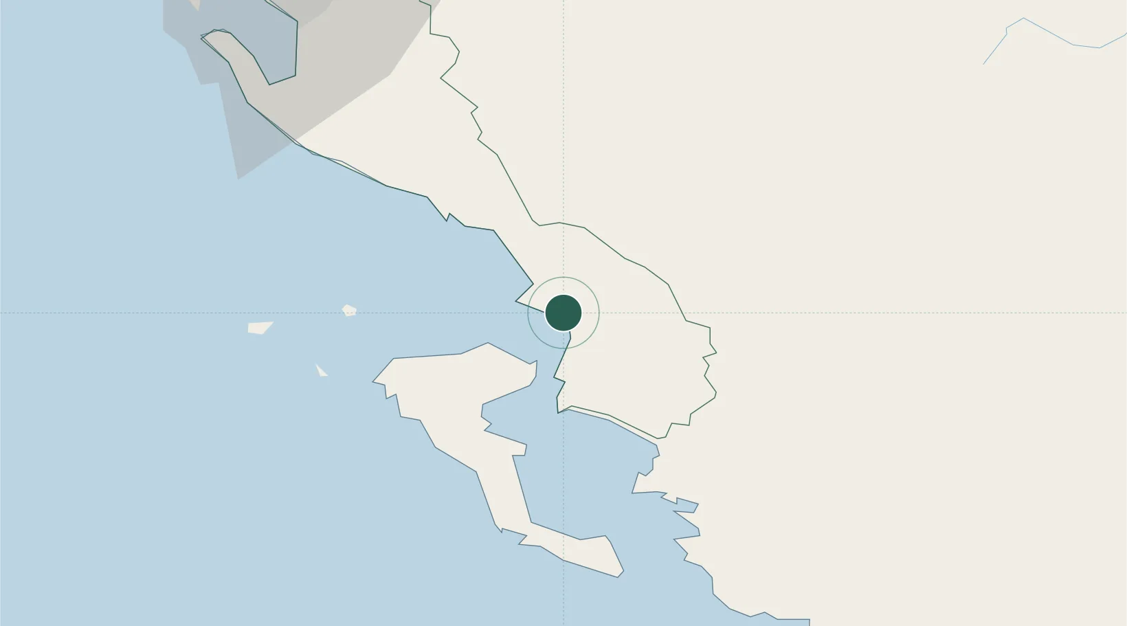
Hub Profile
Place type
Provincial seat
Region
Vlorë County
Population
22,613
Time zone
Europe/Tirane
Elevation
23 m
Location
Nearby Logistics Neighbours
Cities
- 1Kassiopis13 km
- 2Kassiopi Corfu13 km
- 3Agios Stefanos Corfu14 km
- 4Butrint15 km
- 5Ypsos25 km
Airports
Trade Zones
- 1Gjirokastër Freezone25 km
- 2Përmet Freezone50 km
- 3Vlora Technical and Economic Development Area82 km
- 4Fier Freezone99 km
- 5Korçë Freezone108 km
DatabookThe Record of Consolidated Knowledge
Albania beyond logistics?