UN/LOCODE hub · Greece
GRKSP

Kassiopi Corfu

39.7833°, 19.9167°
1
Transport functions

Transport Functions

Port
UN/LOCODE

Hub Profile

Region
22
GeoNames

Location

Location of GRKSP
Natural Earth 10m (public domain) · 22 · GRKSP · 39.78, 19.92GoogleOSMYandex

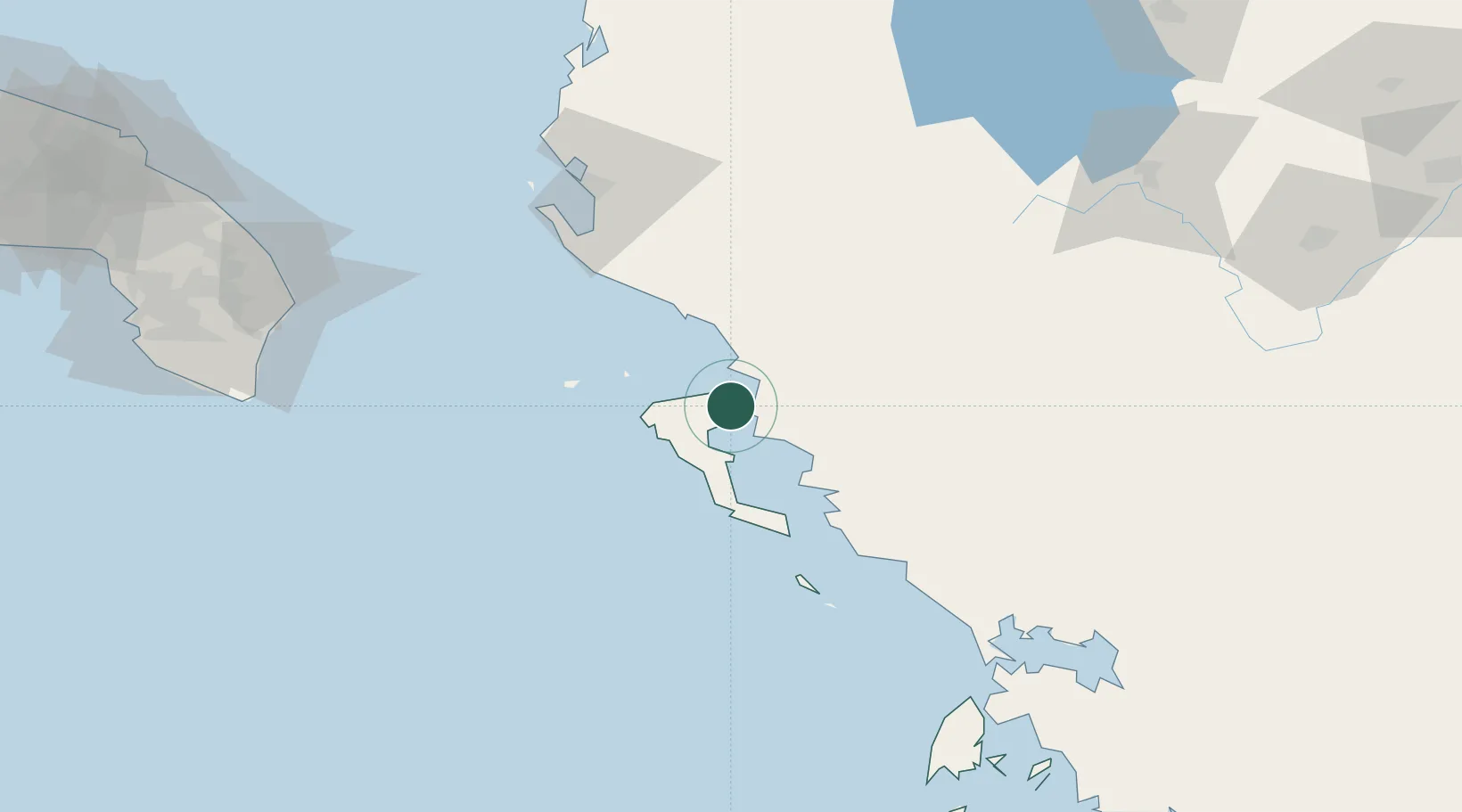
Nearby Logistics Neighbours

Cities
  1. 1Kassiopis0 km
  2. 2Agios Stefanos Corfu3 km
  3. 3Butrint9 km
  4. 4Ypsos12 km
  5. 5Sarandë13 km
Nearest neighbours — logibook spatial index (haversine) over the source coordinates
Ports
  1. 1Kerkira19 km
  2. 2Vlore84 km
  3. 3Preveza117 km
  4. 4Otranto128 km
  5. 5Gallipoli168 km
Nearest neighbours — logibook spatial index (haversine) over the source coordinates
Airports
  1. 1Corfu Ioannis Kapodistrias International Airport20 km
  2. 2Ioannina King Pyrrhus National Airport78 km
  3. 3Kuçovë Air Base110 km
  4. 4Aktion National Airport120 km
  5. 5Kastoria National Airport Aristotle138 km
Nearest neighbours — logibook spatial index (haversine) over the source coordinates
Trade Zones
  1. 1Gjirokastër Freezone38 km
  2. 2Përmet Freezone63 km
  3. 3Vlora Technical and Economic Development Area88 km
  4. 4Fier Freezone108 km
  5. 5Korçë Freezone121 km
Nearest neighbours — logibook spatial index (haversine) over the source coordinates
DatabookThe Record of Consolidated Knowledge
Greece beyond logistics?
Browse databook

All Sources

LocationsUN/LOCODE
UN/LOCODE — free
Portsthe NGA World Port Index
Public domain (US gov)
AirportsOurAirports
Public domain
Trade Zonesthe World Bank SEZ database
CC BY 4.0
Trade ZonesOpen Zone Map
CC BY
← Greece locations