Transport Functions
Rail
Airport
Hub Profile
Region
93
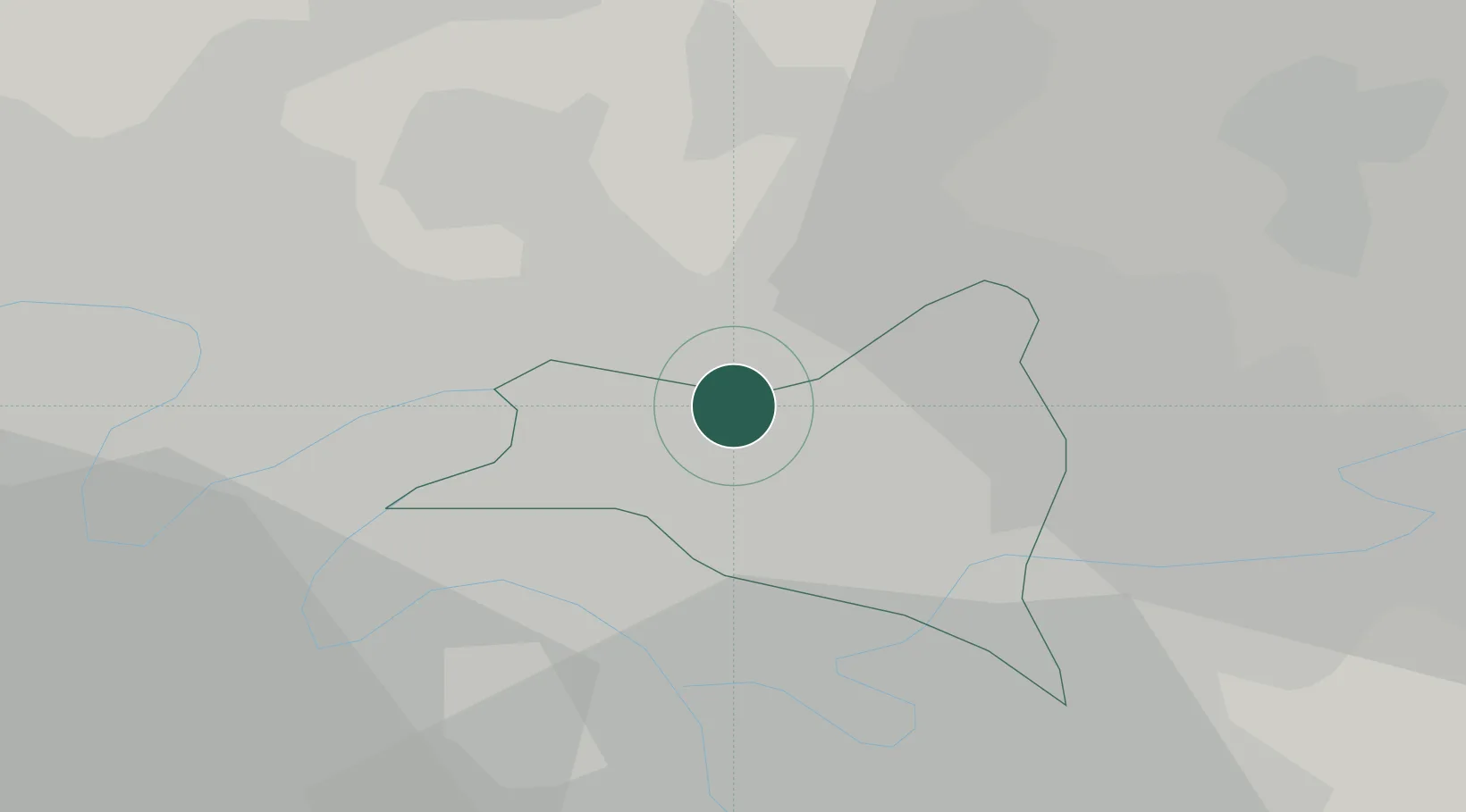
Location
Nearby Logistics Neighbours
Cities
- 1Bonneuil-en-France2 km
- 2Garges-lès-Gonesse2 km
- 3Le Blanc-Mesnil2 km
- 4Arnouville4 km
- 5Pantin6 km
Ports
- 1Port Of Rouen114 km
- 2Le Treport146 km
- 3Dieppe147 km
- 4Saint-Valery-Sur-Somme149 km
- 5Honfleur169 km
Airports
Trade Zones
DatabookThe Record of Consolidated Knowledge
France beyond logistics?