Transport Functions
Rail
Road
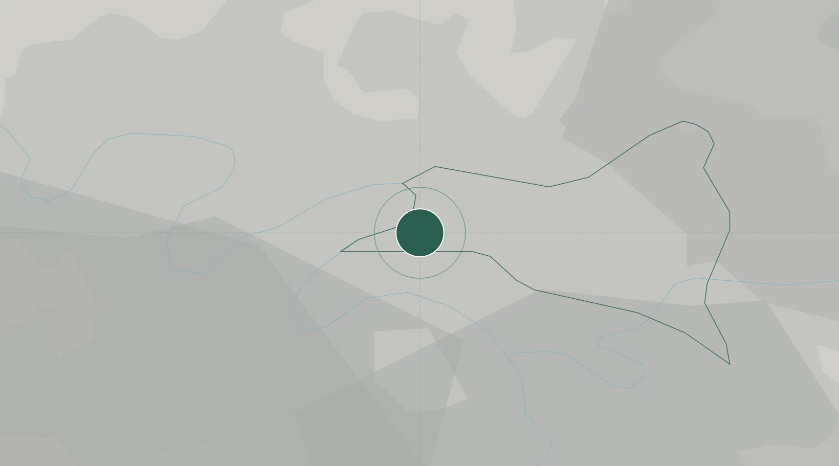
Hub Profile
Place type
Populated place
Region
Île-de-France
Population
39,353
Time zone
Europe/Paris
Elevation
35 m
Location
Nearby Logistics Neighbours
Cities
- 1Clichy3 km
- 2Asnières-sur-Seine4 km
- 3Gennevilliers4 km
- 4Pantin5 km
- 5Colombes6 km
Ports
- 1Port Of Rouen110 km
- 2Dieppe145 km
- 3Le Treport146 km
- 4Saint-Valery-Sur-Somme150 km
- 5Honfleur164 km
Airports
Trade Zones
DatabookThe Record of Consolidated Knowledge
France beyond logistics?