Transport Functions
Rail
Road
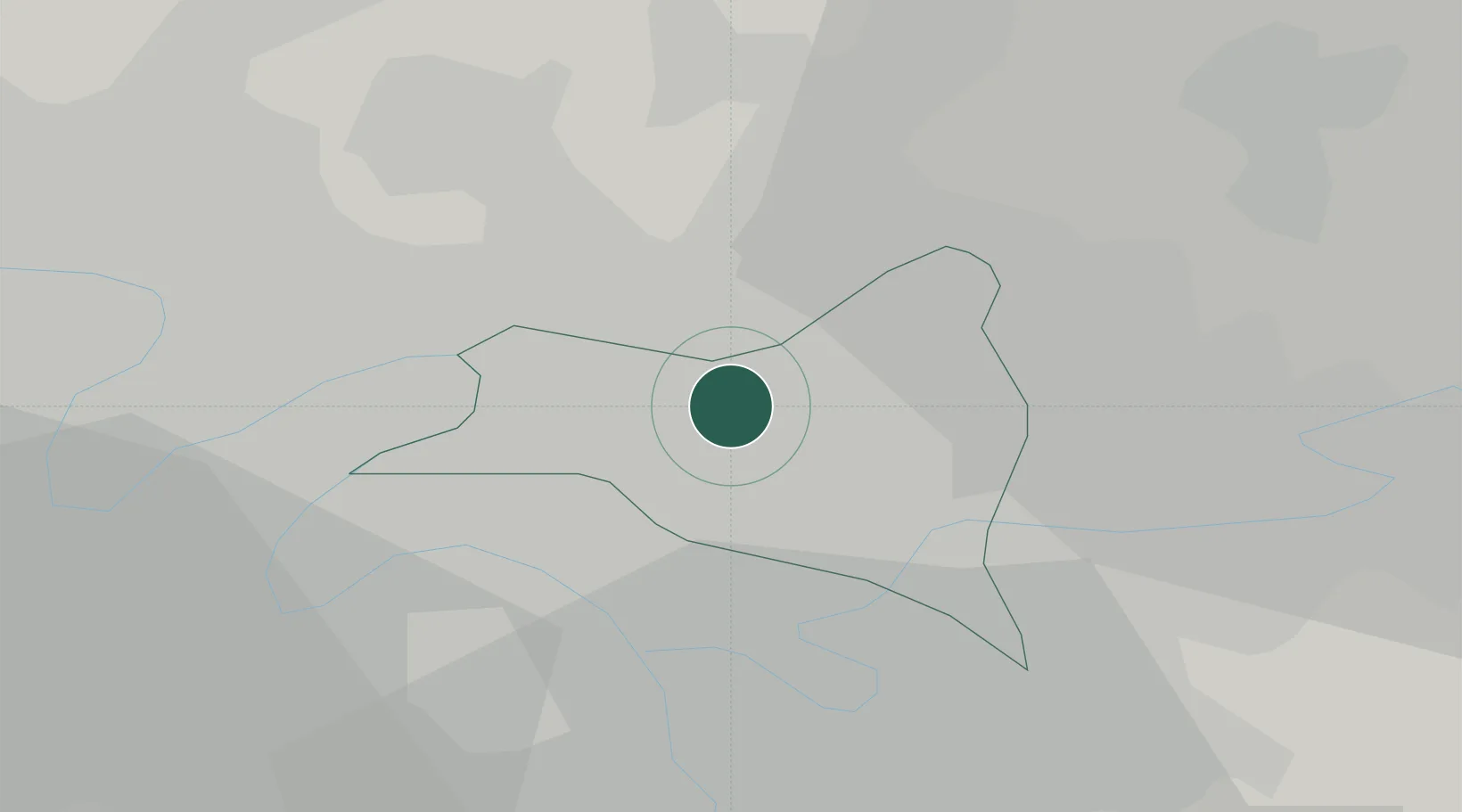
Hub Profile
Place type
Populated place
Region
Île-de-France
Population
48,077
Time zone
Europe/Paris
Elevation
48 m
Location
Nearby Logistics Neighbours
Cities
- 1Le Bourget Apt/Paris2 km
- 2Bonneuil-en-France4 km
- 3Garges-lès-Gonesse4 km
- 4Pantin5 km
- 5Noisy-le-Sec6 km
Ports
- 1Port Of Rouen116 km
- 2Le Treport148 km
- 3Dieppe149 km
- 4Saint-Valery-Sur-Somme151 km
- 5Honfleur171 km
Airports
Trade Zones
DatabookThe Record of Consolidated Knowledge
France beyond logistics?