Transport Functions
Port
Road
Hub Profile
Place type
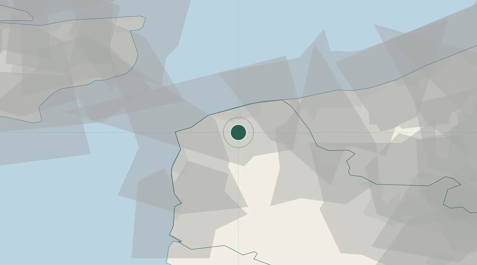
Populated place
Region
Hauts-de-France
Population
5,342
Time zone
Europe/Paris
Elevation
13 m
Location
Nearby Logistics Neighbours
Cities
- 1Fréthun7 km
- 2Les Fontinettes8 km
- 3Ardres8 km
- 4Calais9 km
- 5Fort-Batard10 km
Ports
- 1Calais11 km
- 2Gravelines23 km
- 3Boulogne-Sur-Mer24 km
- 4Dunkerque Port Est41 km
- 5Dover Harbor47 km
Airports
- 1Calais Marck Airport12 km
- 2Le Touquet-Côte d'Opale Airport42 km
- 3Koksijde Air Base60 km
- 4Merville-Calonne Airport61 km
- 5Lydd London Ashford Airport66 km
DatabookThe Record of Consolidated Knowledge
France beyond logistics?