UN/LOCODE hub · France
FRVSG

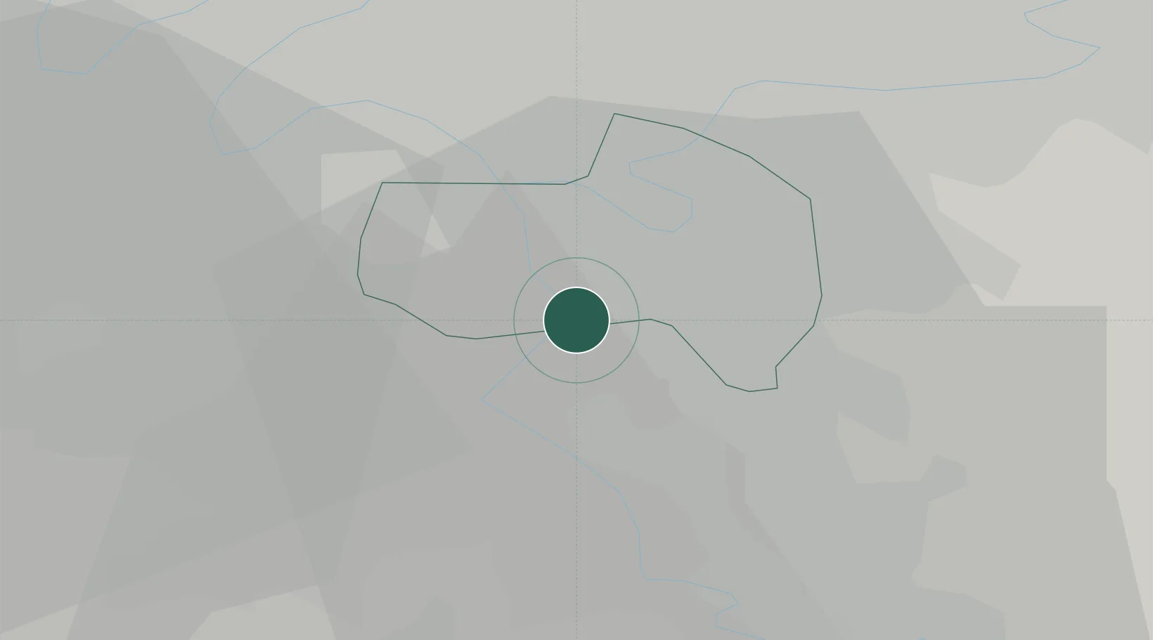
Villeneuve-Saint-Georges

48.7333°, 2.4500°
30,881
Population
1
Transport functions

Transport Functions

Rail
UN/LOCODE

Hub Profile

Place type
Populated place
GeoNames
Region
Île-de-France
GeoNames
Population
30,881
GeoNames
Time zone
Europe/Paris
GeoNames
Elevation
35 m
GeoNames

Location

Location of FRVSG
Natural Earth 10m (public domain) · Île-de-France · FRVSG · 48.73, 2.45GoogleOSMYandex

Nearby Logistics Neighbours

Cities
  1. 1Valenton1 km
  2. 2Limeil-Brévannes2 km
  3. 3Orly4 km
  4. 4Vigneux-sur-Seine4 km
  5. 5Bonneuil-sur-Marne5 km
Nearest neighbours — logibook spatial index (haversine) over the source coordinates
Ports
  1. 1Port Of Rouen128 km
  2. 2Dieppe166 km
  3. 3Le Treport168 km
  4. 4Saint-Valery-Sur-Somme172 km
  5. 5Honfleur180 km
Nearest neighbours — logibook spatial index (haversine) over the source coordinates
Airports
  1. 1Paris-Orly Airport5 km
  2. 2Vélizy-Villacoublay Air Base19 km
  3. 3Melun-Villaroche Airfield22 km
  4. 4Toussus-le-Noble Airport25 km
  5. 5Paris-Le Bourget International Airport26 km
Nearest neighbours — logibook spatial index (haversine) over the source coordinates
Trade Zones
  1. 1ZFU Choisy-le-Roi et Orly4 km
  2. 2ZFU Epinay-sous-Sénart6 km
  3. 3ZFU Vitry-sur-Seine8 km
  4. 4ZFU Grigny Viry-Châtillon9 km
  5. 5ZFU Champigny-sur-Marne et Chennevières-sur-Marne9 km
Nearest neighbours — logibook spatial index (haversine) over the source coordinates
DatabookThe Record of Consolidated Knowledge
France beyond logistics?
Browse databook

All Sources

LocationsUN/LOCODE
UN/LOCODE — free
LocationsGeoNames
CC BY 4.0
Portsthe NGA World Port Index
Public domain (US gov)
AirportsOurAirports
Public domain
Trade Zonesthe World Bank SEZ database
CC BY 4.0
Trade ZonesOpen Zone Map
CC BY
← France locations