Free Trade Zone · China

Daxiang Industrial Concentration Zone Active
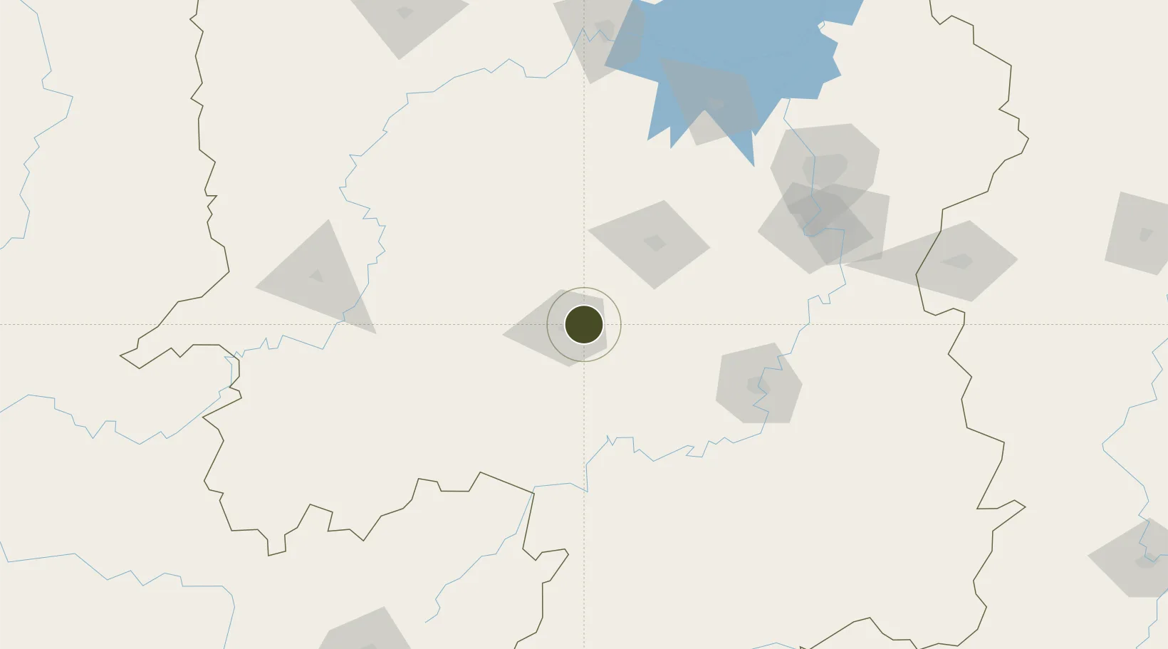
27.2741°, 111.5691°
21,500 ha
Zone area
452.9 km
Nearest port
11.8 km
Nearest airport

Gateway access

Nearest neighbours — logibook spatial index (haversine) over the source coordinates

Zone profile

Zone type
Free Trade Zone
Open Zone Map
Region
Hunan
Open Zone Map
Status
Active
Open Zone Map
Management
Public
Open Zone Map
Operator
Working Committee of Daxiang Industrial Concentration Zone
Open Zone Map
Legal framework
Daxin Industrial Concentration Area Master Plan 2017-2030
Open Zone Map

Location

Location of ozm-1580
Natural Earth 10m (public domain) · Hunan · ozm-1580 · 27.27, 111.57GoogleOSMYandex

Nearby Logistics Neighbours

Ports
  1. 1Hankow453 km
  2. 2Guangzhou492 km
  3. 3Huangpu502 km
  4. 4Huangpuxingang508 km
  5. 5Shekou583 km
Nearest neighbours — logibook spatial index (haversine) over the source coordinates
Airports
  1. 1Shaodong Airport12 km
  2. 2Yongzhou Lingling Airport104 km
  3. 3Shaoyang Wugang Airport106 km
  4. 4Hengyang Nanyue Airport121 km
  5. 5Ningxiang Airport129 km
Nearest neighbours — logibook spatial index (haversine) over the source coordinates
Cities
  1. 1Hengyang112 km
  2. 2Shaoshan114 km
  3. 3Kaiyun128 km
  4. 4Xiangtan146 km
  5. 5Huaihua157 km
Nearest neighbours — logibook spatial index (haversine) over the source coordinates
DatabookThe Record of Consolidated Knowledge
China beyond logistics?
Browse databook

All Sources

Trade ZonesOpen Zone Map
CC BY
Portsthe NGA World Port Index
Public domain (US gov)
AirportsOurAirports
Public domain
LocationsUN/LOCODE
UN/LOCODE — free
← China trade zones