Transport Functions
Rail
Airport
Postal
Hub Profile
Place type
Regional capital
Region
Zhejiang
Population
9,236,032
Time zone
Asia/Shanghai
Elevation
12 m
Logistics facilities
7
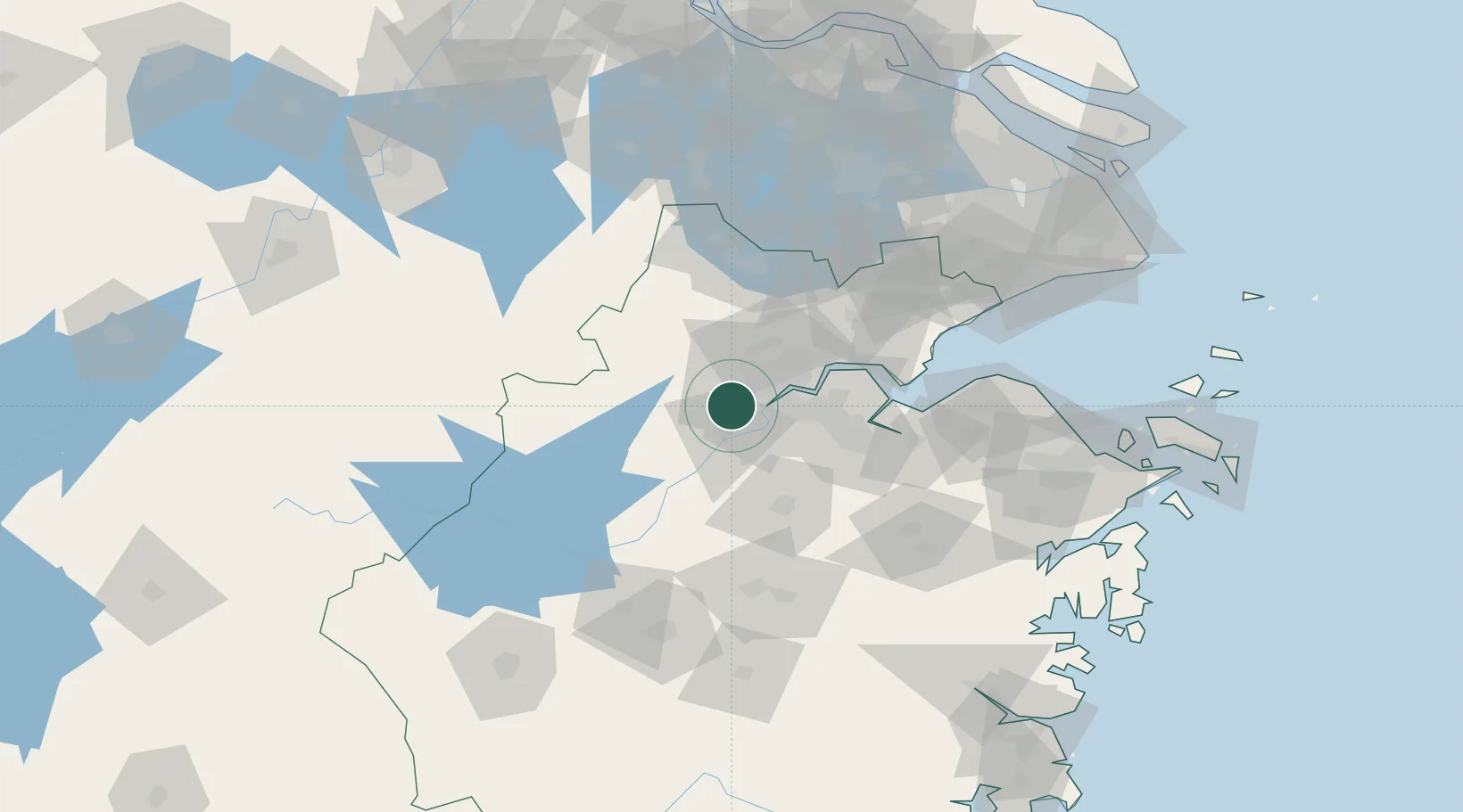
Location
Nearby Logistics Neighbours
Airports
Trade Zones
DatabookThe Record of Consolidated Knowledge
China beyond logistics?