Export Processing Zone · China

Lingang Economic Development Zone Active
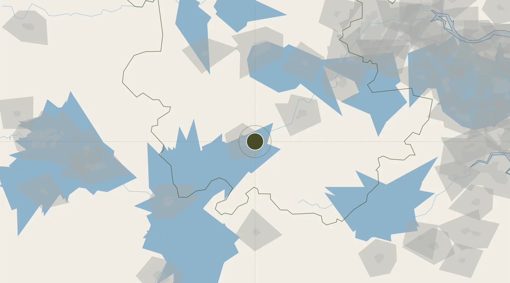
30.5541°, 117.1944°
270 ha
Zone area
225.3 km
Nearest port
14.2 km
Nearest airport

Gateway access

Nearest neighbours — logibook spatial index (haversine) over the source coordinates

Zone profile

Zone type
Export Processing Zone
Open Zone Map
Region
Anhui
Open Zone Map
Status
Active
Open Zone Map
Management
Public
Open Zone Map
Operator
Management Committee of Lingang Economic Development Zone
Open Zone Map
Legal framework
Anqing Yingjiang Economic Development Zone was approved by anqing Municipal Government in November 2005, and officially approved as a provincial development zone by Anhui Provincial government in May 2018.On May 29, 2018, the provincial government officia
Open Zone Map

Location

Location of ozm-1084
Natural Earth 10m (public domain) · Anhui · ozm-1084 · 30.55, 117.19GoogleOSMYandex

Nearby Logistics Neighbours

Ports
  1. 1Nanjing225 km
  2. 2Hankow279 km
  3. 3Zhenjiang282 km
  4. 4Yangzhou285 km
  5. 5Changzhou308 km
Nearest neighbours — logibook spatial index (haversine) over the source coordinates
Airports
  1. 1Anqing Tianzhushan Airport / Anqing North Air Base14 km
  2. 2Chizhou Jiuhuashan Airport51 km
  3. 3Jingdezhen Luojia Airport135 km
  4. 4Huangshan Tunxi International Airport137 km
  5. 5Wuhu Xuanzhou Airport153 km
Nearest neighbours — logibook spatial index (haversine) over the source coordinates
Cities
  1. 1Anqing15 km
  2. 2Shipai59 km
  3. 3Tongling72 km
  4. 4Chaohu132 km
  5. 5Xuancheng135 km
Nearest neighbours — logibook spatial index (haversine) over the source coordinates
DatabookThe Record of Consolidated Knowledge
China beyond logistics?
Browse databook

All Sources

Trade ZonesOpen Zone Map
CC BY
Portsthe NGA World Port Index
Public domain (US gov)
AirportsOurAirports
Public domain
LocationsUN/LOCODE
UN/LOCODE — free
← China trade zones