Diversified Zone · China

Dadukou Economic Development Zone Active
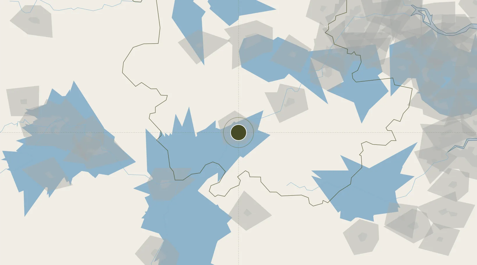
30.4871°, 117.0794°
3,500 ha
Zone area
238.1 km
Nearest port
10.9 km
Nearest airport

Gateway access

Nearest neighbours — logibook spatial index (haversine) over the source coordinates

Zone profile

Zone type
Diversified Zone
Open Zone Map
Region
Anhui
Open Zone Map
Status
Active
Open Zone Map
Management
Public
Open Zone Map
Operator
Dadukou Economic Development Zone Management Committee
Open Zone Map
Legal framework
It was approved by Anhui Provincial People's Government in June 2008
Open Zone Map

Location

Location of ozm-909
Natural Earth 10m (public domain) · Anhui · ozm-909 · 30.49, 117.08GoogleOSMYandex

Nearby Logistics Neighbours

Ports
  1. 1Nanjing238 km
  2. 2Hankow268 km
  3. 3Zhenjiang295 km
  4. 4Yangzhou299 km
  5. 5Changzhou321 km
Nearest neighbours — logibook spatial index (haversine) over the source coordinates
Airports
  1. 1Anqing Tianzhushan Airport / Anqing North Air Base11 km
  2. 2Chizhou Jiuhuashan Airport65 km
  3. 3Jingdezhen Luojia Airport128 km
  4. 4Huangshan Tunxi International Airport141 km
  5. 5Wuhu Xuanzhou Airport166 km
Nearest neighbours — logibook spatial index (haversine) over the source coordinates
Cities
  1. 1Anqing3 km
  2. 2Shipai45 km
  3. 3Tongling85 km
  4. 4Jingdezhen135 km
  5. 5Jiujiang138 km
Nearest neighbours — logibook spatial index (haversine) over the source coordinates
DatabookThe Record of Consolidated Knowledge
China beyond logistics?
Browse databook

All Sources

Trade ZonesOpen Zone Map
CC BY
Portsthe NGA World Port Index
Public domain (US gov)
AirportsOurAirports
Public domain
LocationsUN/LOCODE
UN/LOCODE — free
← China trade zones