UN/LOCODE hub · Indonesia
IDCTO

New Priok Port

-6.0833°, 106.9167°
2
Transport functions

Transport Functions

Port
Multimodal
UN/LOCODE

Hub Profile

Region
JK
GeoNames

Location

Location of IDCTO
Natural Earth 10m (public domain) · JK · IDCTO · -6.08, 106.92GoogleOSMYandex

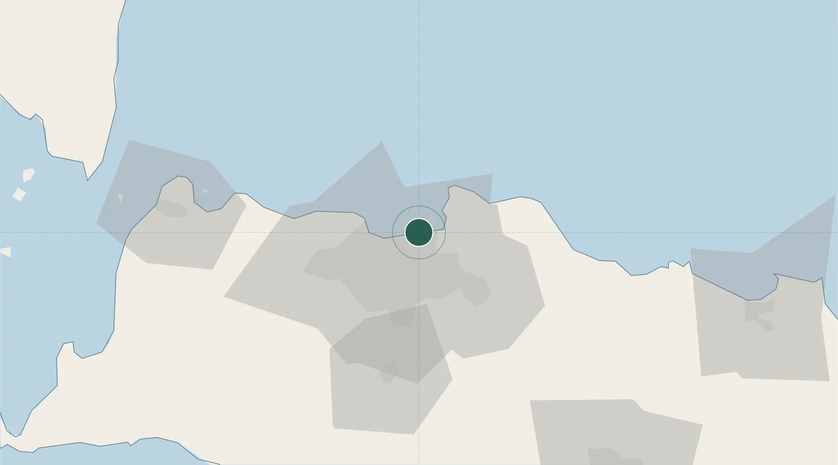
Nearby Logistics Neighbours

Cities
  1. 1Jakarta Utara5 km
  2. 2Pejagalan14 km
  3. 3Gambir14 km
  4. 4Jakarta Pusat14 km
  5. 5Menteng14 km
Nearest neighbours — logibook spatial index (haversine) over the source coordinates
Ports
  1. 1Jakarta4 km
  2. 2Ardjuna Oil Field91 km
  3. 3Tanjung Sekong103 km
  4. 4Merak Mas Terminal103 km
  5. 5Banten105 km
Nearest neighbours — logibook spatial index (haversine) over the source coordinates
Airports
  1. 1Halim Perdanakusuma International Airport21 km
  2. 2Soekarno-Hatta International Airport29 km
  3. 3Husein Sastranegara International Airport117 km
  4. 4Kertajati International Airport152 km
  5. 5Radin Inten II International Airport213 km
Nearest neighbours — logibook spatial index (haversine) over the source coordinates
Trade Zones
  1. 1Kawasan Berikat Nusantara Industrial Estate7 km
  2. 2Jakarta Industrial Estate - Pulogadung11 km
  3. 3MM2100 Industrial Town32 km
  4. 4Jababeka Industrial Estate-Cikarang33 km
  5. 5Bekasi International Industrial Estate37 km
Nearest neighbours — logibook spatial index (haversine) over the source coordinates
DatabookThe Record of Consolidated Knowledge
Indonesia beyond logistics?
Browse databook

All Sources

LocationsUN/LOCODE
UN/LOCODE — free
Portsthe NGA World Port Index
Public domain (US gov)
AirportsOurAirports
Public domain
Trade Zonesthe World Bank SEZ database
CC BY 4.0
Trade ZonesOpen Zone Map
CC BY
← Indonesia locations