Transport Functions
Port
Road
Hub Profile
Place type
Populated place
Region
Siparia Regional Corporation
Time zone
America/Port_of_Spain
Elevation
12 m
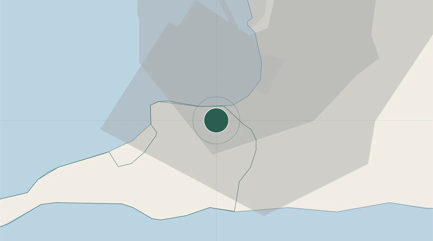
Location
Nearby Logistics Neighbours
Cities
- 1South Oropouche2 km
- 2Siparia10 km
- 3Claxton Bay17 km
- 4Princes Town17 km
- 5Point Lisas22 km
Ports
- 1Brighton12 km
- 2Pointe A Pierre13 km
- 3Point Fortin18 km
- 4Point Lisas Port21 km
- 5Port Of Spain48 km
Airports
Trade Zones
DatabookThe Record of Consolidated Knowledge
Trinidad & Tobago beyond logistics?