UN/LOCODE hub · Trinidad & Tobago
TTCVA
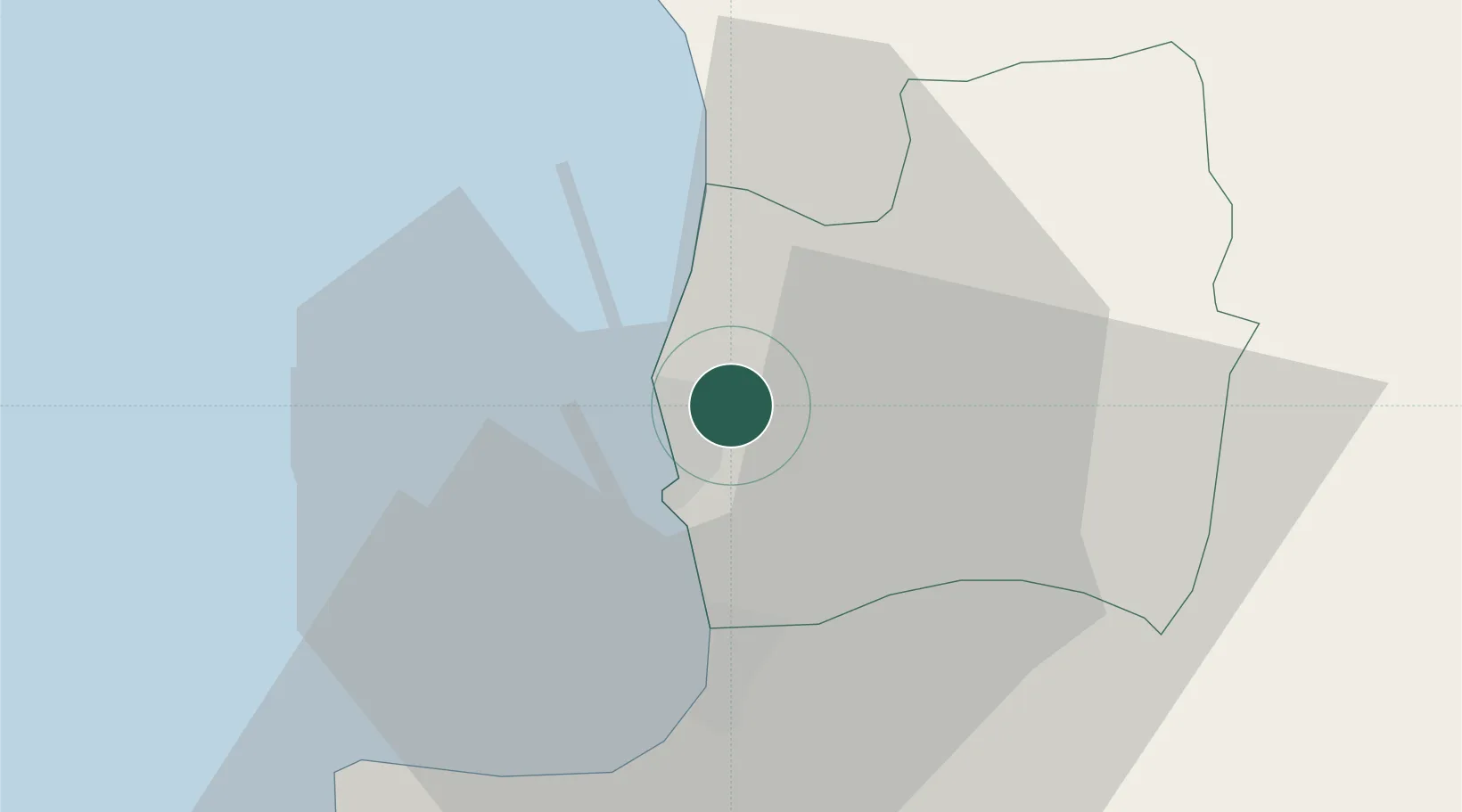
Couva
10.4167°, -61.4500°
5,178
Population
2
Transport functions
Transport Functions
Port
Road
Hub Profile
Place type
Regional capital
Region
Couva-Tabaquite-Talparo
Population
5,178
Time zone
America/Port_of_Spain
Elevation
15 m
Location
Nearby Logistics Neighbours
Cities
- 1Point Lisas5 km
- 2Freeport5 km
- 3Claxton Bay8 km
- 4Princes Town18 km
- 5Saint Mary's24 km
Ports
- 1Point Lisas Port6 km
- 2Pointe A Pierre11 km
- 3Port Of Spain27 km
- 4Brighton27 km
- 5Anse Tembladora33 km
Airports
- 1Piarco International Airport24 km
- 2Guiria Airport96 km
- 3A.N.R. Robinson International Airport106 km
- 4Tucupita Airport164 km
- 5Maurice Bishop International Airport180 km
DatabookThe Record of Consolidated Knowledge
Trinidad & Tobago beyond logistics?