Transport Functions
Port
Road
Hub Profile
Place type
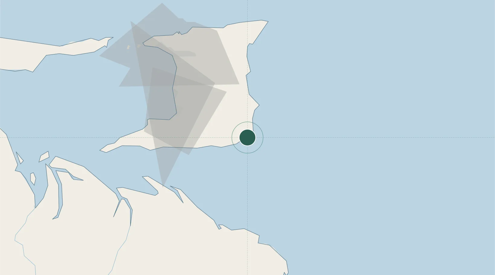
Populated place
Region
Mayaro
Time zone
America/Port_of_Spain
Elevation
12 m
Location
Nearby Logistics Neighbours
Cities
- 1Princes Town41 km
- 2Siparia51 km
- 3Claxton Bay53 km
- 4Freeport55 km
- 5Couva55 km
Ports
- 1Pointe A Pierre52 km
- 2Point Lisas Port59 km
- 3Brighton67 km
- 4Point Fortin73 km
- 5Port Of Spain78 km
Airports
- 1Piarco International Airport61 km
- 2A.N.R. Robinson International Airport115 km
- 3Guiria Airport148 km
- 4Tucupita Airport164 km
- 5Maurice Bishop International Airport224 km
Trade Zones
DatabookThe Record of Consolidated Knowledge
Trinidad & Tobago beyond logistics?