Transport Functions
Rail
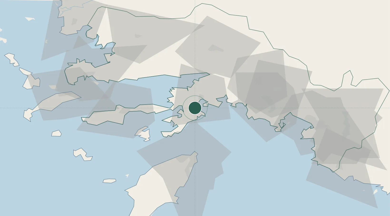
Hub Profile
Place type
Populated place
Region
Muğla
Population
9,604
Time zone
Europe/Istanbul
Elevation
7 m
Location
Nearby Logistics Neighbours
Airports
Trade Zones
- 1Tire Organized Industrial Zone155 km
- 2Denizli Free Zone171 km
- 3Salihli Organized Industrial Zone192 km
- 4Aegean Free Zone198 km
- 5Antalya Free Zone213 km
DatabookThe Record of Consolidated Knowledge
Türkiye beyond logistics?