Transport Functions
Multimodal
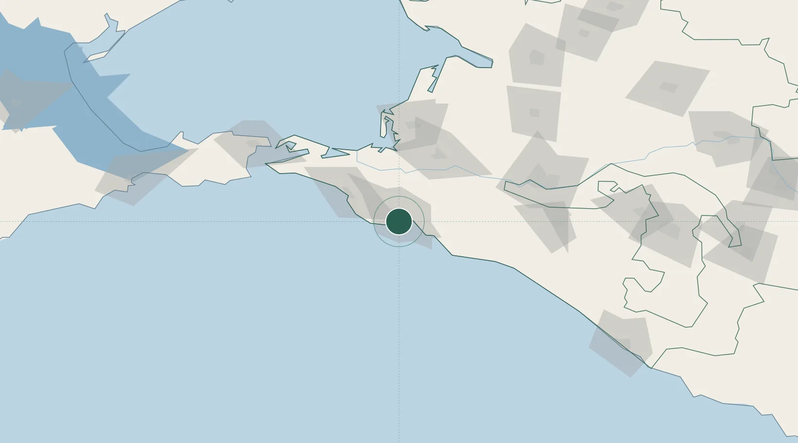
Hub Profile
Place type
Urban district
Region
Krasnodar Krai
Time zone
Europe/Moscow
Elevation
111 m
Location
Nearby Logistics Neighbours
Cities
- 1Novorossiysk7 km
- 2Cpc Terminal8 km
- 3Kirillovka10 km
- 4Krymsk31 km
- 5Abinsk38 km
Ports
- 1Novorossiysk5 km
- 2Gelendzhik29 km
- 3Anapa41 km
- 4Temryuk81 km
- 5Kavkaz Oil Terminal113 km
Airports
- 1Gelendzhik Airport24 km
- 2Krymsk Air Base37 km
- 3Anapa Vityazevo Airport48 km
- 4Krasnodar Central Air Base104 km
- 5Krasnodar Pashkovsky International Airport119 km
Trade Zones
- 1Azov Economic Zone268 km
- 2Special Economic Zone Donetsk368 km
- 3Samsun Free Zone392 km
- 4Samsun Merkez Organized Industrial Zone398 km
- 5Kulevi Free Industrial Zone413 km
DatabookThe Record of Consolidated Knowledge
Russia beyond logistics?