Channel & Berth Profile
Pilotage, Tugs & Services
MedicalYES
Facilities & Capabilities
Container—
Ro-Ro—
Liquid bulk—
Dry bulk—
Oil terminal—
Break bulk—
Dry dock—
RepairsNO
Bunkering—
Rail linkYES
Dangerous cargo—
ISPS security—
Harbour Specifications
Harbour size
Very Small
Harbour type
Open Roadstead
Shelter
Poor
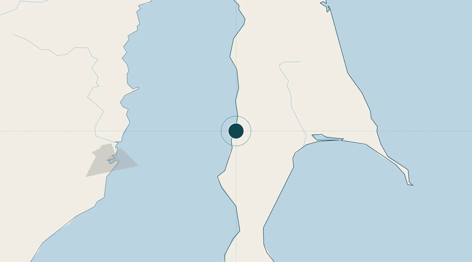
Water body
Tatar Strait; North Pacific Ocean
Tidal range
2 m
Location
Nearby Logistics Neighbours
Ports
- 1Shakhtersk32 km
- 2Uglegorsk41 km
- 3Poronaysk77 km
- 4Bukhta Vanino140 km
- 5Mys Rogatyy Oktyabrskiy143 km
Cities
- 1Boshnyakovo22 km
- 2Novy Knin40 km
- 3Libis112 km
- 4Boranovice128 km
- 5Dehtary133 km
Airports
- 1Shakhtyorsk Airport29 km
- 2Kamenny Ruchey Naval Air Base143 km
- 3Sovetskaya Gavan (Maygatka) Airport163 km
- 4Dolinsk-Sokol Air Base248 km
- 5Nogliki Airport269 km
DatabookThe Record of Consolidated Knowledge
Russia beyond logistics?