Transport Functions
Multimodal
Hub Profile
Place type
Populated place
Region
Central Bohemia
Population
2,442
Time zone
Europe/Prague
Elevation
165 m
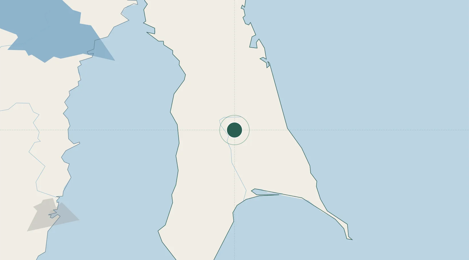
Location
Nearby Logistics Neighbours
Cities
- 1Boranovice37 km
- 2Okruzhnoe57 km
- 3Novy Knin73 km
- 4Chamgu84 km
- 5Aleksandrovsk-Sakhalinskiy91 km
Ports
- 1Mys Rogatyy Oktyabrskiy81 km
- 2Aleksandrovsk -Sakhalinskiy92 km
- 3Lesogorsk112 km
- 4Poronaysk119 km
- 5Shakhtersk141 km
Airports
- 1Shakhtyorsk Airport138 km
- 2Nogliki Airport167 km
- 3Kamenny Ruchey Naval Air Base233 km
- 4Sovetskaya Gavan (Maygatka) Airport262 km
- 5Bogorodskoye Airport293 km
DatabookThe Record of Consolidated Knowledge
Czechia beyond logistics?