Transport Functions
Port
Multimodal
Hub Profile
Place type
Populated place
Region
Liberecký kraj
Time zone
Europe/Prague
Elevation
310 m
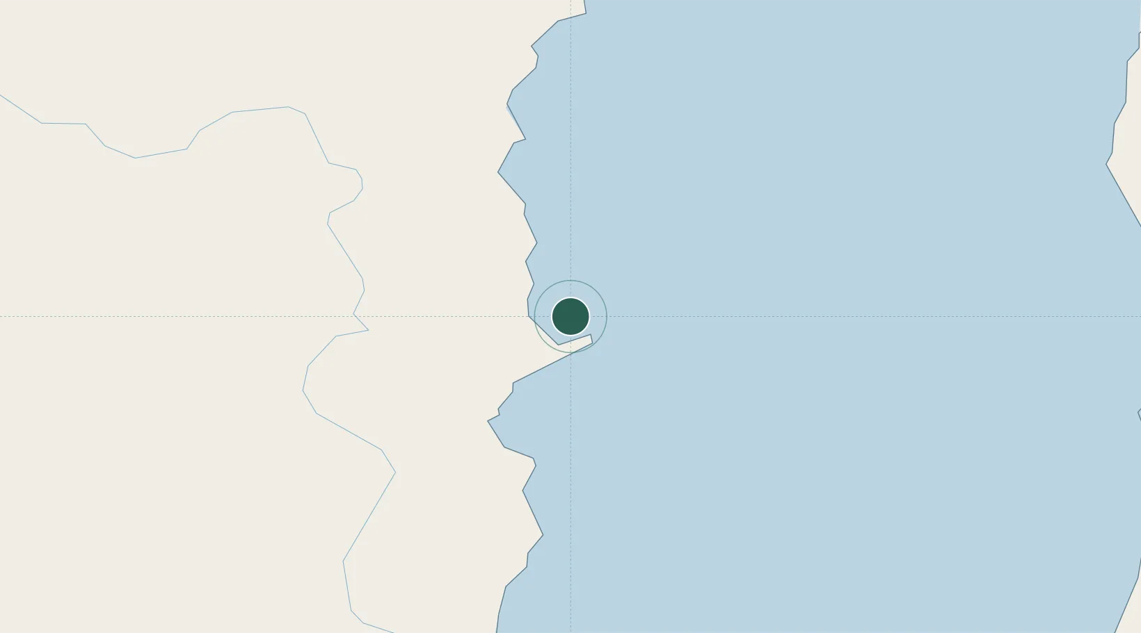
Location
Nearby Logistics Neighbours
Cities
- 1Kosor28 km
- 2Siziman65 km
- 3Boshnyakovo123 km
- 4Novy Knin128 km
- 5Dobroviz129 km
Ports
- 1Bukhta Vanino121 km
- 2Mys Rogatyy Oktyabrskiy123 km
- 3Lesogorsk133 km
- 4Sovetskaya Gavan133 km
- 5Aleksandrovsk -Sakhalinskiy135 km
Airports
- 1Kamenny Ruchey Naval Air Base107 km
- 2Sovetskaya Gavan (Maygatka) Airport143 km
- 3Shakhtyorsk Airport149 km
- 4Bogorodskoye Airport248 km
- 5Nogliki Airport253 km
DatabookThe Record of Consolidated Knowledge
Czechia beyond logistics?