Transport Functions
Multimodal
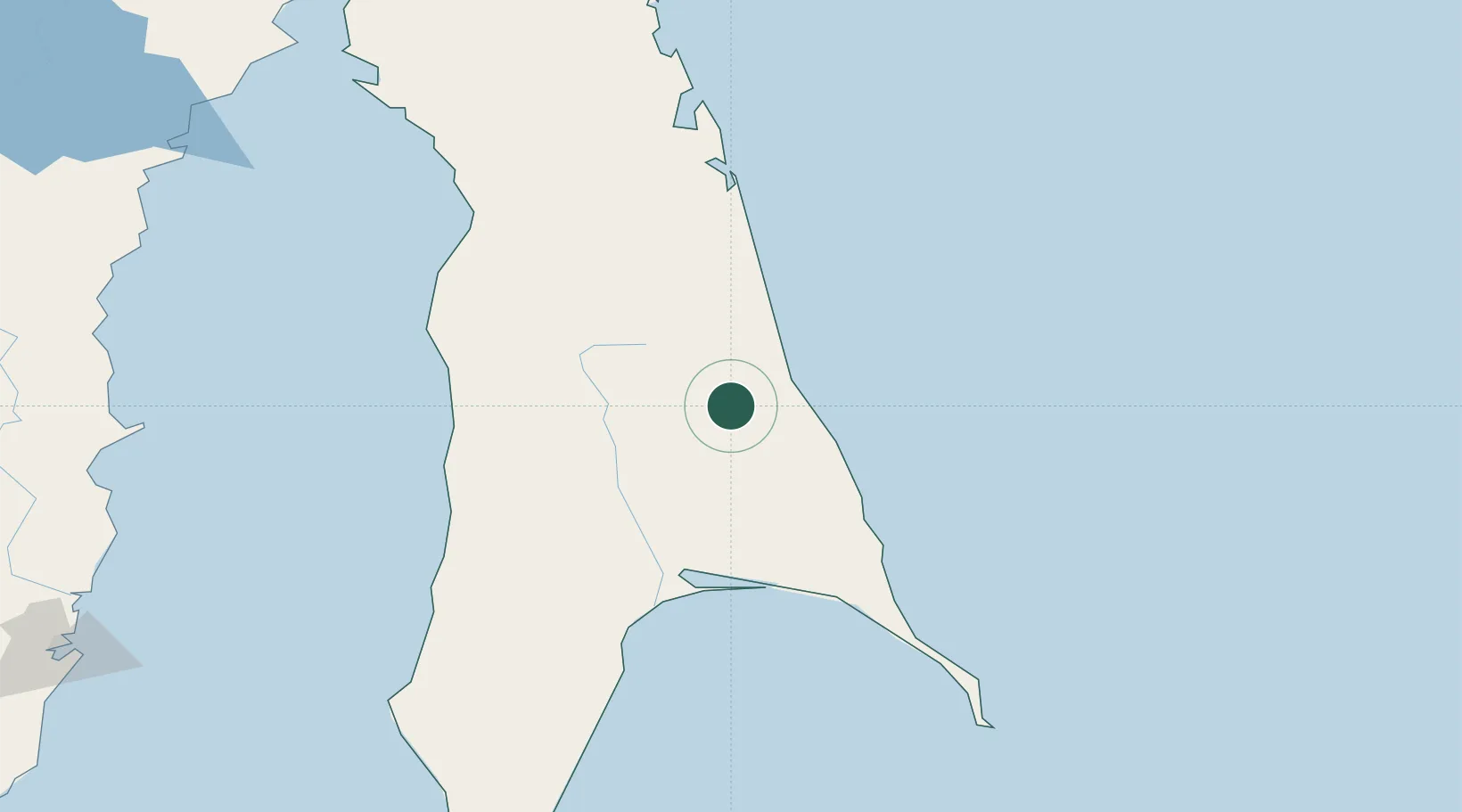
Hub Profile
Place type
Populated place
Region
Central Bohemia
Population
999
Time zone
Europe/Prague
Elevation
255 m
Location
Nearby Logistics Neighbours
Ports
- 1Poronaysk111 km
- 2Mys Rogatyy Oktyabrskiy117 km
- 3Aleksandrovsk -Sakhalinskiy125 km
- 4Lesogorsk128 km
- 5Shakhtersk153 km
Airports
- 1Shakhtyorsk Airport150 km
- 2Nogliki Airport180 km
- 3Kamenny Ruchey Naval Air Base260 km
- 4Sovetskaya Gavan (Maygatka) Airport286 km
- 5Bogorodskoye Airport324 km
DatabookThe Record of Consolidated Knowledge
Czechia beyond logistics?