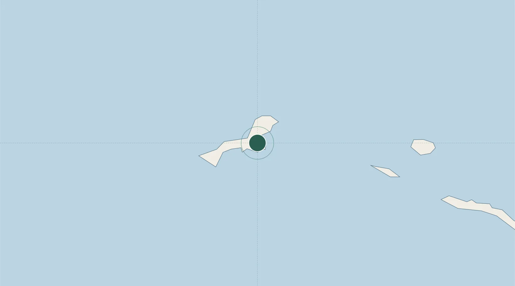
UN/LOCODE hub · United States
USKAB

Kiska Harbour

51.9667°, 177.5667°
1
Transport functions

Transport Functions

Port
UN/LOCODE

Hub Profile

Region
AK
GeoNames

Location

Location of USKAB
Natural Earth 10m (public domain) · AK · USKAB · 51.97, 177.57GoogleOSMYandex

Nearby Logistics Neighbours

Cities
  1. 1Kiska Island2 km
  2. 2Gertrude Cove9 km
  3. 3Zagorow132 km
  4. 4Margonin154 km
  5. 5Zorawina335 km
Nearest neighbours — logibook spatial index (haversine) over the source coordinates
Ports
  1. 1Kiska1 km
  2. 2Alcan Harbor253 km
  3. 3Port Beringovsky1238 km
  4. 4Petropavlovsk1282 km
  5. 5Bukhta Nagayeva (Magadan)1863 km
Nearest neighbours — logibook spatial index (haversine) over the source coordinates
Airports
  1. 1Eareckson Air Station249 km
  2. 2Ust'-Kamchatsk Airport1077 km
  3. 3Yelizovo Airport1295 km
  4. 4Avachinskiy Heliport1299 km
  5. 5Sharomy Air Base1317 km
Nearest neighbours — logibook spatial index (haversine) over the source coordinates
Trade Zones
  1. 1Sovetskaya Gavan Free Zone2631 km
  2. 2Forest General Industrial Special Zone2703 km
  3. 3Hokkaido Food Complex International Strategic Comprehensive Special Zone2859 km
  4. 4Sapporo Contents Special Zone2861 km
  5. 5Semboku City Strategic Special Zone3120 km
Nearest neighbours — logibook spatial index (haversine) over the source coordinates
DatabookThe Record of Consolidated Knowledge
United States beyond logistics?
Browse databook

All Sources

LocationsUN/LOCODE
UN/LOCODE — free
Portsthe NGA World Port Index
Public domain (US gov)
AirportsOurAirports
Public domain
Trade Zonesthe World Bank SEZ database
CC BY 4.0
Trade ZonesOpen Zone Map
CC BY
← United States locations