Transport Functions
Port
Hub Profile
Region
15
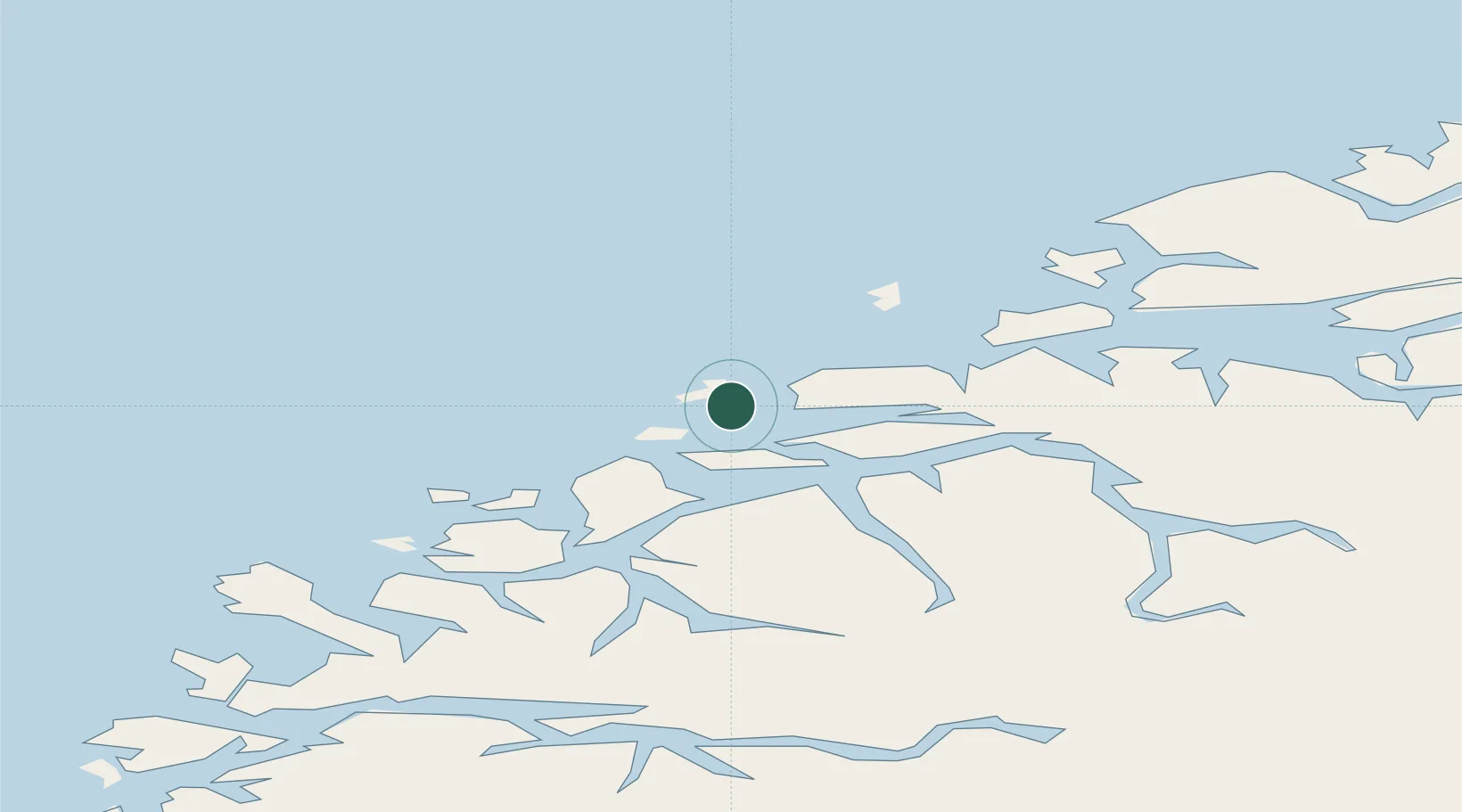
Location
Nearby Logistics Neighbours
Cities
- 1Valderøy2 km
- 2Ålesund9 km
- 3Godøya10 km
- 4Ellingsøy11 km
- 5Langevåg - Sula12 km
Ports
- 1Alesund8 km
- 2Hareid19 km
- 3Moldtustranda36 km
- 4Orstav38 km
- 5Molde57 km
Airports
- 1Ålesund Airport3 km
- 2Ørsta-Volda Airport, Hovden39 km
- 3Molde Airport, Årø62 km
- 4Sandane Airport, Anda78 km
- 5Kristiansund Airport, Kvernberget107 km
Trade Zones
- 1Gothenburg Boundless Customs Warehouse622 km
- 2Jönköping Free Zone688 km
- 3Freeport of Copenhagen- Nordhavn842 km
- 4MTS Malmö Transport and Spedition866 km
- 5Freeport of Kiel941 km
DatabookThe Record of Consolidated Knowledge
Norway beyond logistics?