UN/LOCODE hub · Norway
NOAES
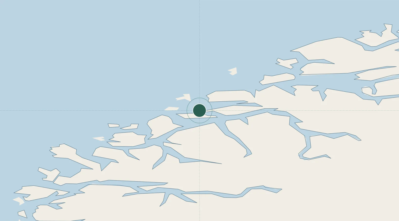
Ålesund
62.4630°, 6.1987°
52,626
Population
3
Transport functions
4
Container terminals
Transport Functions
Port
Road
Airport
Hub Profile
Place type
Provincial seat
Region
Møre og Romsdal
Population
52,626
Time zone
Europe/Oslo
Elevation
3 m
Logistics facilities
8
Container terminals
4
Location
Nearby Logistics Neighbours
Cities
- 1Langevåg - Sula3 km
- 2Fiskarstrand5 km
- 3Spjelkavik7 km
- 4Valderøy7 km
- 5Ellingsøy8 km
Ports
- 1Hareid13 km
- 2Orstav30 km
- 3Moldtustranda34 km
- 4Molde58 km
- 5Haroysund61 km
Airports
- 1Ålesund Airport12 km
- 2Ørsta-Volda Airport, Hovden32 km
- 3Molde Airport, Årø63 km
- 4Sandane Airport, Anda71 km
- 5Kristiansund Airport, Kvernberget110 km
Trade Zones
- 1Gothenburg Boundless Customs Warehouse613 km
- 2Jönköping Free Zone680 km
- 3Freeport of Copenhagen- Nordhavn834 km
- 4MTS Malmö Transport and Spedition857 km
- 5Freeport of Kiel933 km
DatabookThe Record of Consolidated Knowledge
Norway beyond logistics?