Transport Functions
Road
Multimodal
Hub Profile
Region
15
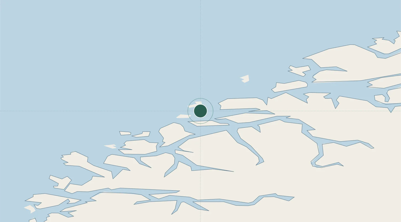
Location
Nearby Logistics Neighbours
Cities
- 1Gjøsundet2 km
- 2Ålesund7 km
- 3Godøya8 km
- 4Langevåg - Sula11 km
- 5Ellingsøy11 km
Ports
- 1Alesund6 km
- 2Hareid17 km
- 3Moldtustranda34 km
- 4Orstav36 km
- 5Molde59 km
Airports
- 1Ålesund Airport5 km
- 2Ørsta-Volda Airport, Hovden38 km
- 3Molde Airport, Årø64 km
- 4Sandane Airport, Anda76 km
- 5Kristiansund Airport, Kvernberget109 km
Trade Zones
- 1Gothenburg Boundless Customs Warehouse621 km
- 2Jönköping Free Zone688 km
- 3Freeport of Copenhagen- Nordhavn841 km
- 4MTS Malmö Transport and Spedition865 km
- 5Freeport of Kiel940 km
DatabookThe Record of Consolidated Knowledge
Norway beyond logistics?