Transport Functions
Port
Road
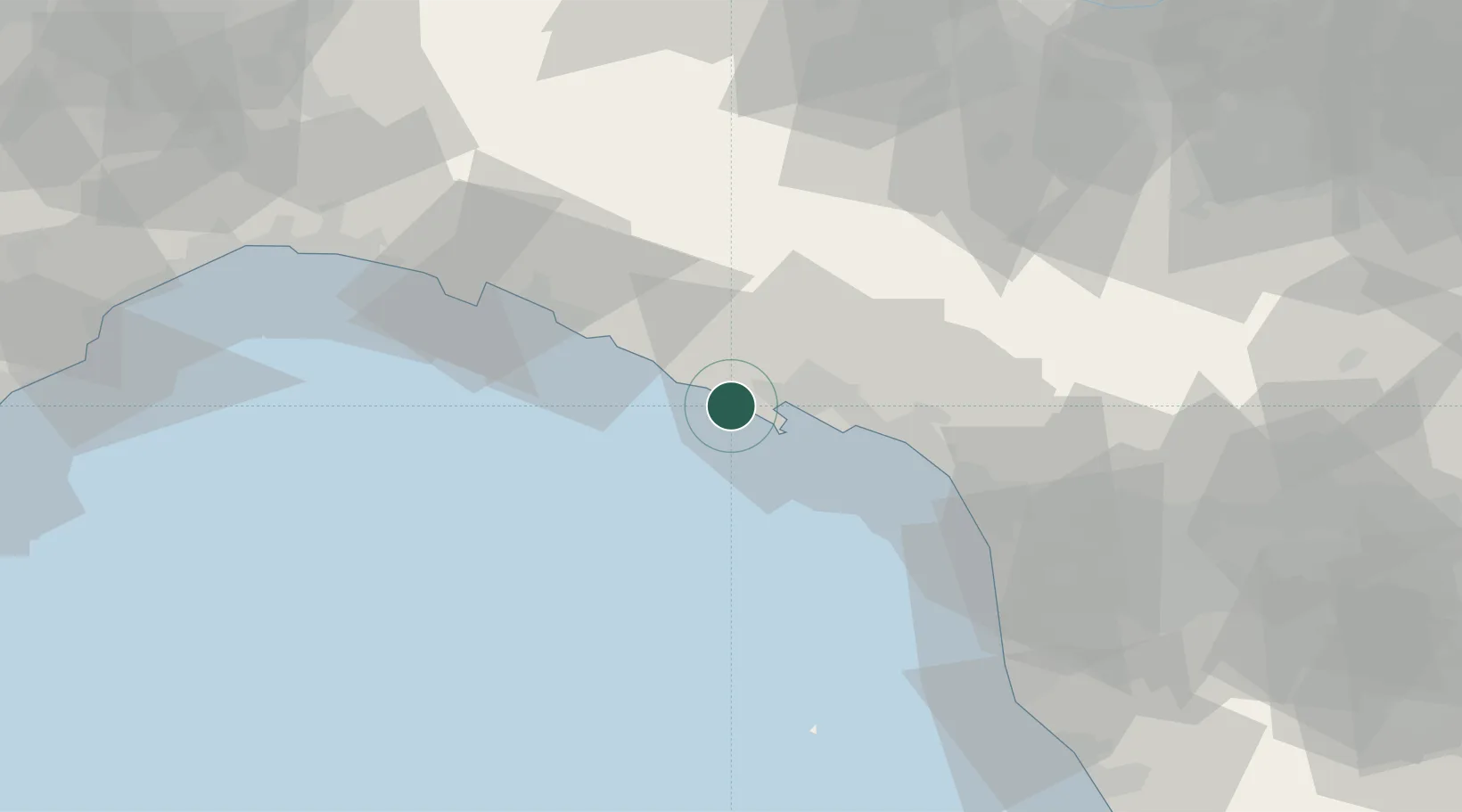
Hub Profile
Place type
District seat
Region
Liguria
Population
1,067
Time zone
Europe/Rome
Elevation
35 m
Location
Nearby Logistics Neighbours
Cities
- 1Casella4 km
- 2Vernazza5 km
- 3Monterosso al Mare9 km
- 4Portovenere11 km
- 5Levanto11 km
Ports
- 1La Spezia8 km
- 2Marina Di Carrara26 km
- 3Chiavari - Lavagna40 km
- 4Viareggio48 km
- 5Genova73 km
Airports
Trade Zones
- 1ZFU LAriane200 km
- 2Magazzini Generali Con Chiasso204 km
- 3Consorzio Zona Industriale e Porto Fluviale di Padova225 km
- 4Free Port of Venice252 km
- 5Livigno Free Trade Zone272 km
DatabookThe Record of Consolidated Knowledge
Italy beyond logistics?