Transport Functions
Multimodal
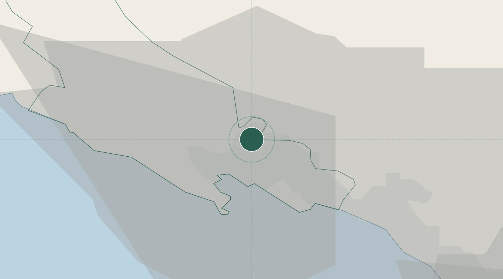
Hub Profile
Region
SP
Location
Nearby Logistics Neighbours
Cities
- 1Vezzano Ligure4 km
- 2La Spezia5 km
- 3Aulla9 km
- 4Lerici11 km
- 5Casella13 km
Ports
- 1La Spezia8 km
- 2Marina Di Carrara20 km
- 3Viareggio44 km
- 4Chiavari - Lavagna47 km
- 5Livorno77 km
Airports
Trade Zones
- 1Magazzini Generali Con Chiasso201 km
- 2Consorzio Zona Industriale e Porto Fluviale di Padova211 km
- 3ZFU LAriane213 km
- 4Free Port of Venice238 km
- 5Livigno Free Trade Zone264 km
DatabookThe Record of Consolidated Knowledge
Italy beyond logistics?