UN/LOCODE hub · Italy
ITZTD

Selargius

39.2500°, 9.1667°
23,285
Population
1
Transport functions

Transport Functions

Multimodal
UN/LOCODE

Hub Profile

Place type
District seat
GeoNames
Region
Sardinia
GeoNames
Population
23,285
GeoNames
Time zone
Europe/Rome
GeoNames
Elevation
11 m
GeoNames

Location

Location of ITZTD
Natural Earth 10m (public domain) · Sardinia · ITZTD · 39.25, 9.17GoogleOSMYandex

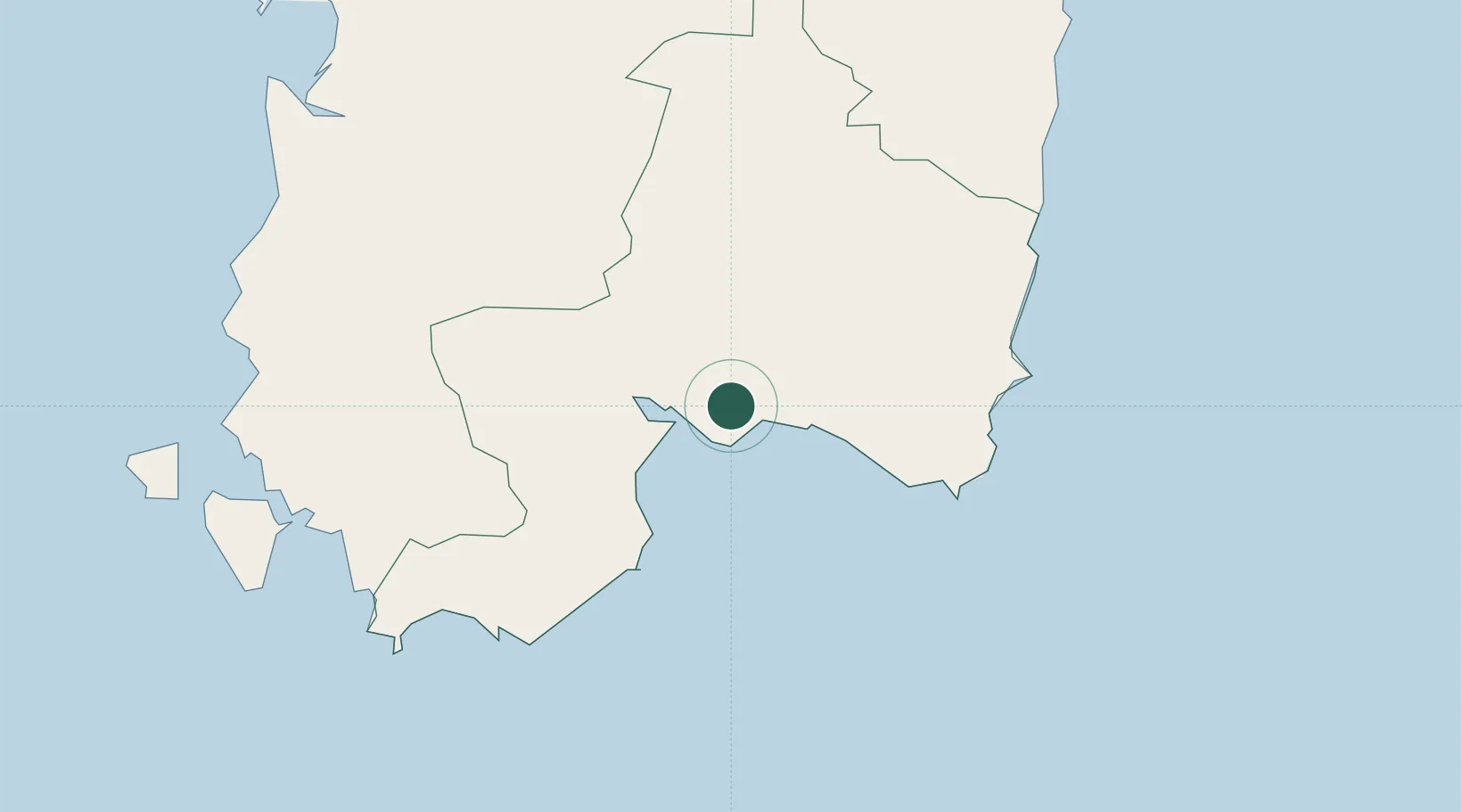
Nearby Logistics Neighbours

Cities
  1. 1Elmas10 km
  2. 2Cagliari11 km
  3. 3Uta19 km
  4. 4Villaspeciosa22 km
  5. 5Porto Foxi (Sarroch)27 km
Nearest neighbours — logibook spatial index (haversine) over the source coordinates
Ports
  1. 1Cagliari9 km
  2. 2Sarroch Oil Terminal22 km
  3. 3Sant'Antioco64 km
  4. 4Porto Ponte Romano64 km
  5. 5Porto Vesme68 km
Nearest neighbours — logibook spatial index (haversine) over the source coordinates
Airports
  1. 1Cagliari Elmas Airport10 km
  2. 2Decimomannu Air Base20 km
  3. 3Tortolì Airport87 km
  4. 4Alghero-Fertilia Airport171 km
  5. 5Olbia Costa Smeralda Airport186 km
Nearest neighbours — logibook spatial index (haversine) over the source coordinates
Trade Zones
  1. 1Free Zone of Portovesme65 km
  2. 2Sardinia Special Economic Zone Area150 km
  3. 3Bizerte Park of Economic Activities229 km
  4. 4Campania Special Economic Zone (Naples and Salerno)418 km
  5. 5Sicily Special Economic Zone Area483 km
Nearest neighbours — logibook spatial index (haversine) over the source coordinates
DatabookThe Record of Consolidated Knowledge
Italy beyond logistics?
Browse databook

All Sources

LocationsUN/LOCODE
UN/LOCODE — free
LocationsGeoNames
CC BY 4.0
Portsthe NGA World Port Index
Public domain (US gov)
AirportsOurAirports
Public domain
Trade Zonesthe World Bank SEZ database
CC BY 4.0
Trade ZonesOpen Zone Map
CC BY
← Italy locations