Transport Functions
Rail
Road
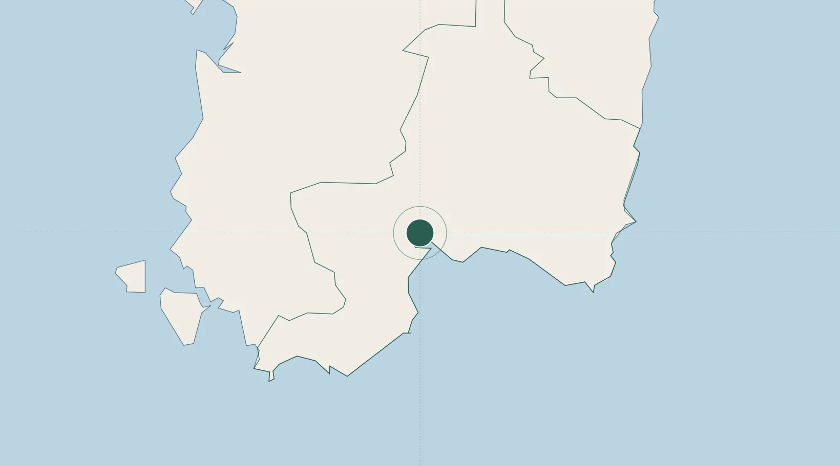
Hub Profile
Place type
District seat
Region
Sardinia
Population
8,025
Time zone
Europe/Rome
Elevation
7 m
Location
Nearby Logistics Neighbours
Cities
- 1Cagliari9 km
- 2Uta9 km
- 3Selargius10 km
- 4Villaspeciosa12 km
- 5Serramanna20 km
Ports
- 1Cagliari10 km
- 2Sarroch Oil Terminal20 km
- 3Sant'Antioco56 km
- 4Porto Ponte Romano56 km
- 5Porto Vesme58 km
Airports
- 1Cagliari Elmas Airport2 km
- 2Decimomannu Air Base12 km
- 3Tortolì Airport91 km
- 4Alghero-Fertilia Airport165 km
- 5Olbia Costa Smeralda Airport186 km
Trade Zones
DatabookThe Record of Consolidated Knowledge
Italy beyond logistics?