Transport Functions
Port
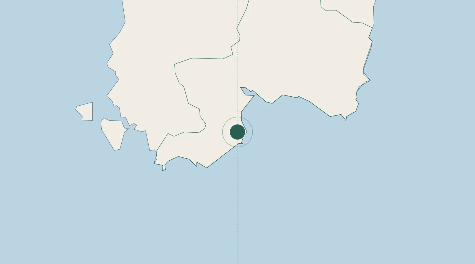
Location
Nearby Logistics Neighbours
Ports
- 1Cagliari18 km
- 2Porto Ponte Romano46 km
- 3Sant'Antioco47 km
- 4Porto Vesme56 km
- 5Carloforte60 km
Airports
- 1Cagliari Elmas Airport23 km
- 2Decimomannu Air Base34 km
- 3Tortolì Airport113 km
- 4Alghero-Fertilia Airport186 km
- 5Olbia Costa Smeralda Airport210 km
Trade Zones
DatabookThe Record of Consolidated Knowledge
Italy beyond logistics?