UN/LOCODE hub · Italy
ITCAG
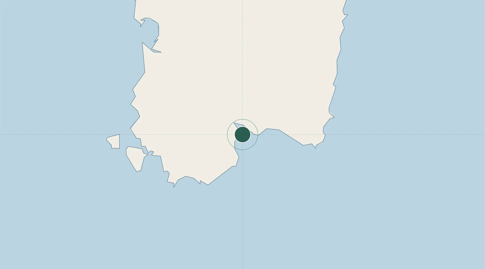
Cagliari
39.1912°, 9.0672°
149,257
Population
3
Transport functions
2
Container terminals
Transport Functions
Port
Road
Airport
Hub Profile
Place type
Regional capital
Region
Sardinia
Population
149,257
Time zone
Europe/Rome
Elevation
6 m
Logistics facilities
5
Container terminals
2
Location
Nearby Logistics Neighbours
Cities
- 1Elmas9 km
- 2Selargius11 km
- 3Uta14 km
- 4Porto Foxi (Sarroch)17 km
- 5Villaspeciosa18 km
Ports
- 1Sarroch Oil Terminal12 km
- 2Porto Ponte Romano54 km
- 3Sant'Antioco54 km
- 4Porto Vesme59 km
- 5Carloforte65 km
Airports
- 1Cagliari Elmas Airport7 km
- 2Decimomannu Air Base20 km
- 3Tortolì Airport97 km
- 4Alghero-Fertilia Airport173 km
- 5Olbia Costa Smeralda Airport194 km
Trade Zones
DatabookThe Record of Consolidated Knowledge
Italy beyond logistics?