Transport Functions
Port
Hub Profile
Place type
Populated place
Region
West Greece
Population
2,569
Time zone
Europe/Athens
Elevation
7 m
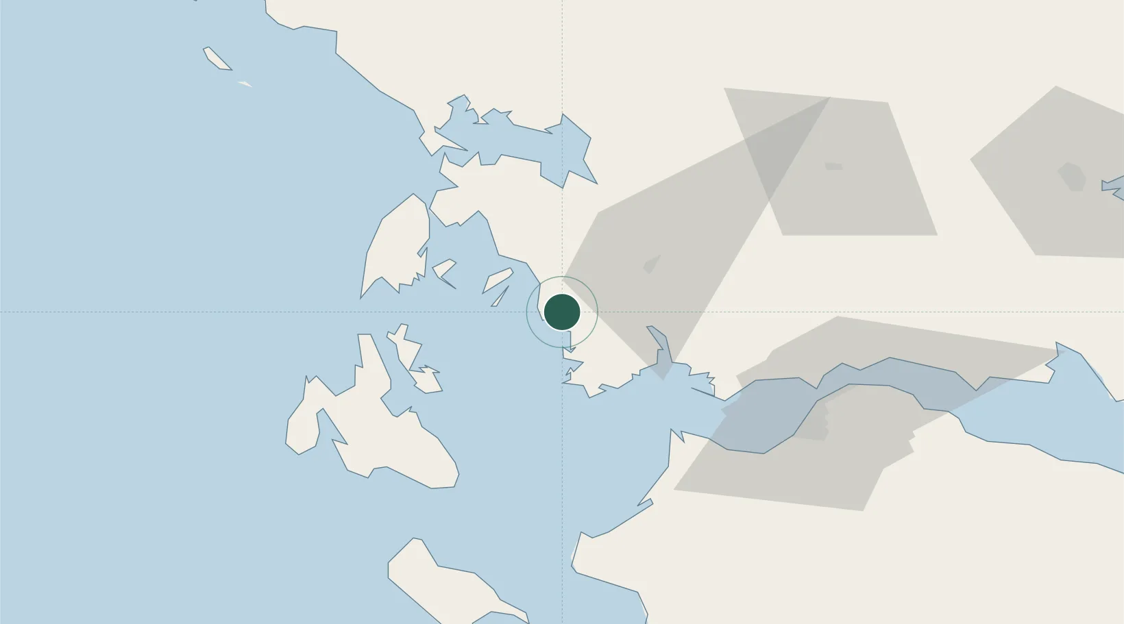
Location
Nearby Logistics Neighbours
Cities
- 1Platygiali Etoloakarnanias8 km
- 2Kastos Island15 km
- 3Kalamos Island (Lefkada)17 km
- 4Aitolikon26 km
- 5Meganísi33 km
Ports
- 1Mesolongion34 km
- 2Preveza55 km
- 3Argostolion63 km
- 4Patrai65 km
- 5Aigio93 km
Airports
Trade Zones
- 1Free Zone of Platigiali (Astakos Etoloakarnanias)6 km
- 2Gjirokastër Freezone188 km
- 3Përmet Freezone200 km
- 4Free Zone of Piraeus230 km
- 5Korçë Freezone235 km
DatabookThe Record of Consolidated Knowledge
Greece beyond logistics?