UN/LOCODE hub · Greece
GRKSI

Kastos Island

38.5667°, 20.9167°
1
Transport functions

Transport Functions

Port
UN/LOCODE

Hub Profile

Region
23
GeoNames

Location

Location of GRKSI
Natural Earth 10m (public domain) · 23 · GRKSI · 38.57, 20.92GoogleOSMYandex

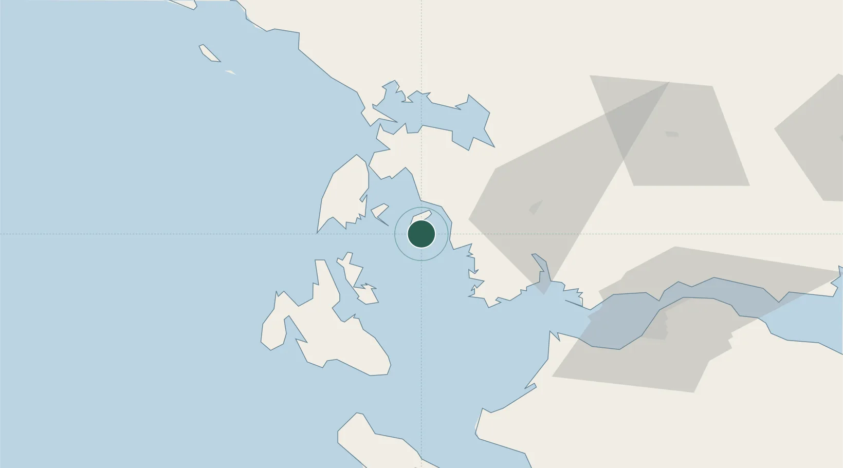
Nearby Logistics Neighbours

Cities
  1. 1Kalamos Island (Lefkada)6 km
  2. 2Astakós15 km
  3. 3Meganísi18 km
  4. 4Platygiali Etoloakarnanias19 km
  5. 5Nidhríon23 km
Nearest neighbours — logibook spatial index (haversine) over the source coordinates
Ports
  1. 1Astakos18 km
  2. 2Preveza45 km
  3. 3Mesolongion49 km
  4. 4Argostolion55 km
  5. 5Patrai79 km
Nearest neighbours — logibook spatial index (haversine) over the source coordinates
Airports
  1. 1Aktion National Airport42 km
  2. 2Kefallinia Airport62 km
  3. 3Patras Araxos Agamemnon Airport64 km
  4. 4Andravida Air Base79 km
  5. 5Zakynthos International Airport Dionysios Solomos91 km
Nearest neighbours — logibook spatial index (haversine) over the source coordinates
Trade Zones
  1. 1Free Zone of Platigiali (Astakos Etoloakarnanias)19 km
  2. 2Gjirokastër Freezone179 km
  3. 3Përmet Freezone192 km
  4. 4Korçë Freezone231 km
  5. 5Free Zone of Piraeus245 km
Nearest neighbours — logibook spatial index (haversine) over the source coordinates
DatabookThe Record of Consolidated Knowledge
Greece beyond logistics?
Browse databook

All Sources

LocationsUN/LOCODE
UN/LOCODE — free
Portsthe NGA World Port Index
Public domain (US gov)
AirportsOurAirports
Public domain
Trade Zonesthe World Bank SEZ database
CC BY 4.0
Trade ZonesOpen Zone Map
CC BY
← Greece locations