Transport Functions
Multimodal
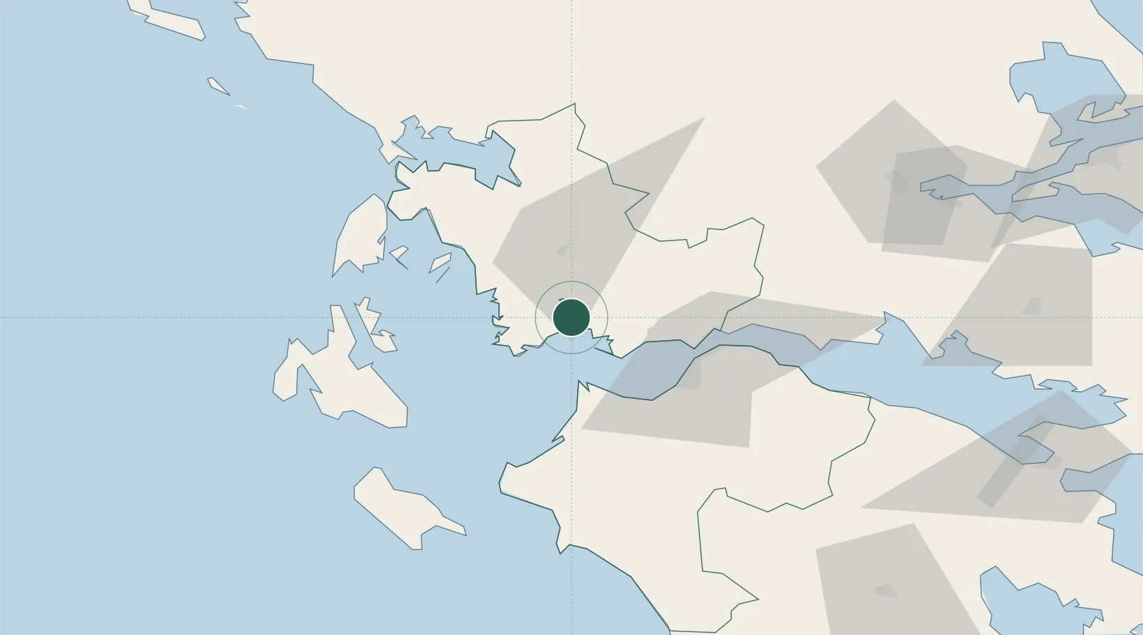
Location
Nearby Logistics Neighbours
Cities
- 1Mesolóngion10 km
- 2Platygiali Etoloakarnanias22 km
- 3Kryonéri24 km
- 4Astakós26 km
- 5Araxos26 km
Ports
- 1Mesolongion9 km
- 2Astakos23 km
- 3Patrai39 km
- 4Aigio67 km
- 5Preveza78 km
Airports
Trade Zones
- 1Free Zone of Platigiali (Astakos Etoloakarnanias)22 km
- 2Free Zone of Piraeus205 km
- 3Gjirokastër Freezone209 km
- 4Përmet Freezone218 km
- 5Korçë Freezone250 km
DatabookThe Record of Consolidated Knowledge
Greece beyond logistics?