Transport Functions
Port
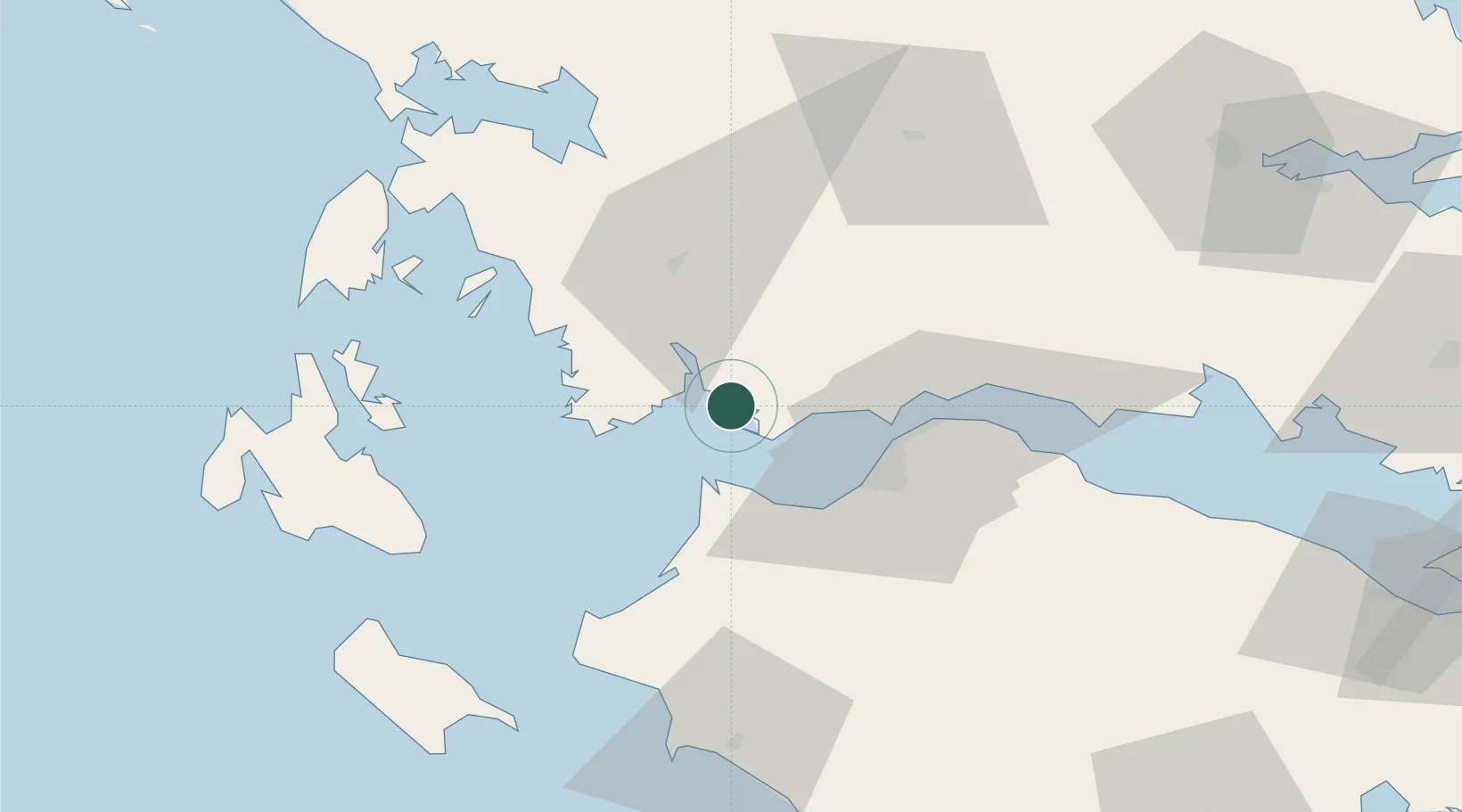
Location
Nearby Logistics Neighbours
Cities
- 1Aitolikon10 km
- 2Kryonéri15 km
- 3Araxos19 km
- 4Káto Achaïa26 km
- 5Káto Akhaía28 km
Ports
- 1Patrai29 km
- 2Astakos32 km
- 3Aigio58 km
- 4Katakolon80 km
- 5Argostolion83 km
Airports
Trade Zones
- 1Free Zone of Platigiali (Astakos Etoloakarnanias)32 km
- 2Free Zone of Piraeus196 km
- 3Gjirokastër Freezone219 km
- 4Përmet Freezone228 km
- 5Korçë Freezone258 km
DatabookThe Record of Consolidated Knowledge
Greece beyond logistics?