UN/LOCODE hub · Greece
GRKAI

Kalamos Island (Lefkada)

38.6167°, 20.9167°
1
Transport functions

Transport Functions

Port
UN/LOCODE

Hub Profile

Region
23
GeoNames

Location

Location of GRKAI
Natural Earth 10m (public domain) · 23 · GRKAI · 38.62, 20.92GoogleOSMYandex

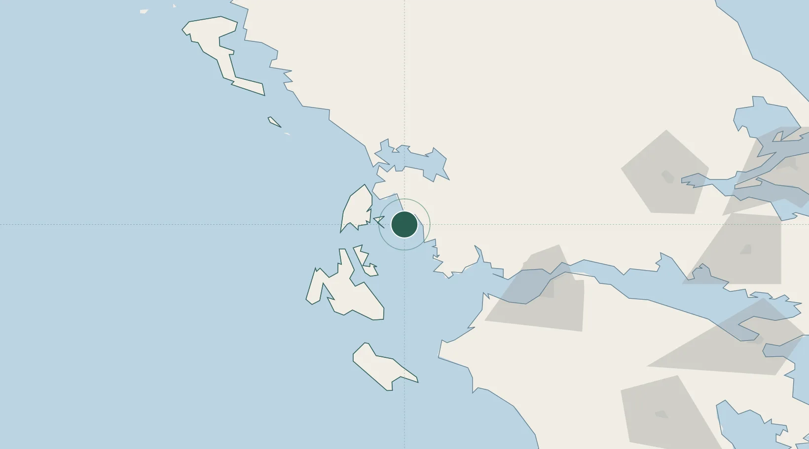
Nearby Logistics Neighbours

Cities
  1. 1Kastos Island6 km
  2. 2Meganísi16 km
  3. 3Astakós17 km
  4. 4Nidhríon20 km
  5. 5Platygiali Etoloakarnanias23 km
Nearest neighbours — logibook spatial index (haversine) over the source coordinates
Ports
  1. 1Astakos22 km
  2. 2Preveza40 km
  3. 3Mesolongion52 km
  4. 4Argostolion60 km
  5. 5Patrai82 km
Nearest neighbours — logibook spatial index (haversine) over the source coordinates
Airports
  1. 1Aktion National Airport37 km
  2. 2Kefallinia Airport66 km
  3. 3Patras Araxos Agamemnon Airport68 km
  4. 4Andravida Air Base84 km
  5. 5Zakynthos International Airport Dionysios Solomos96 km
Nearest neighbours — logibook spatial index (haversine) over the source coordinates
Trade Zones
  1. 1Free Zone of Platigiali (Astakos Etoloakarnanias)22 km
  2. 2Gjirokastër Freezone174 km
  3. 3Përmet Freezone187 km
  4. 4Korçë Freezone225 km
  5. 5Vlora Technical and Economic Development Area243 km
Nearest neighbours — logibook spatial index (haversine) over the source coordinates
DatabookThe Record of Consolidated Knowledge
Greece beyond logistics?
Browse databook

All Sources

LocationsUN/LOCODE
UN/LOCODE — free
Portsthe NGA World Port Index
Public domain (US gov)
AirportsOurAirports
Public domain
Trade Zonesthe World Bank SEZ database
CC BY 4.0
Trade ZonesOpen Zone Map
CC BY
← Greece locations