Transport Functions
Port
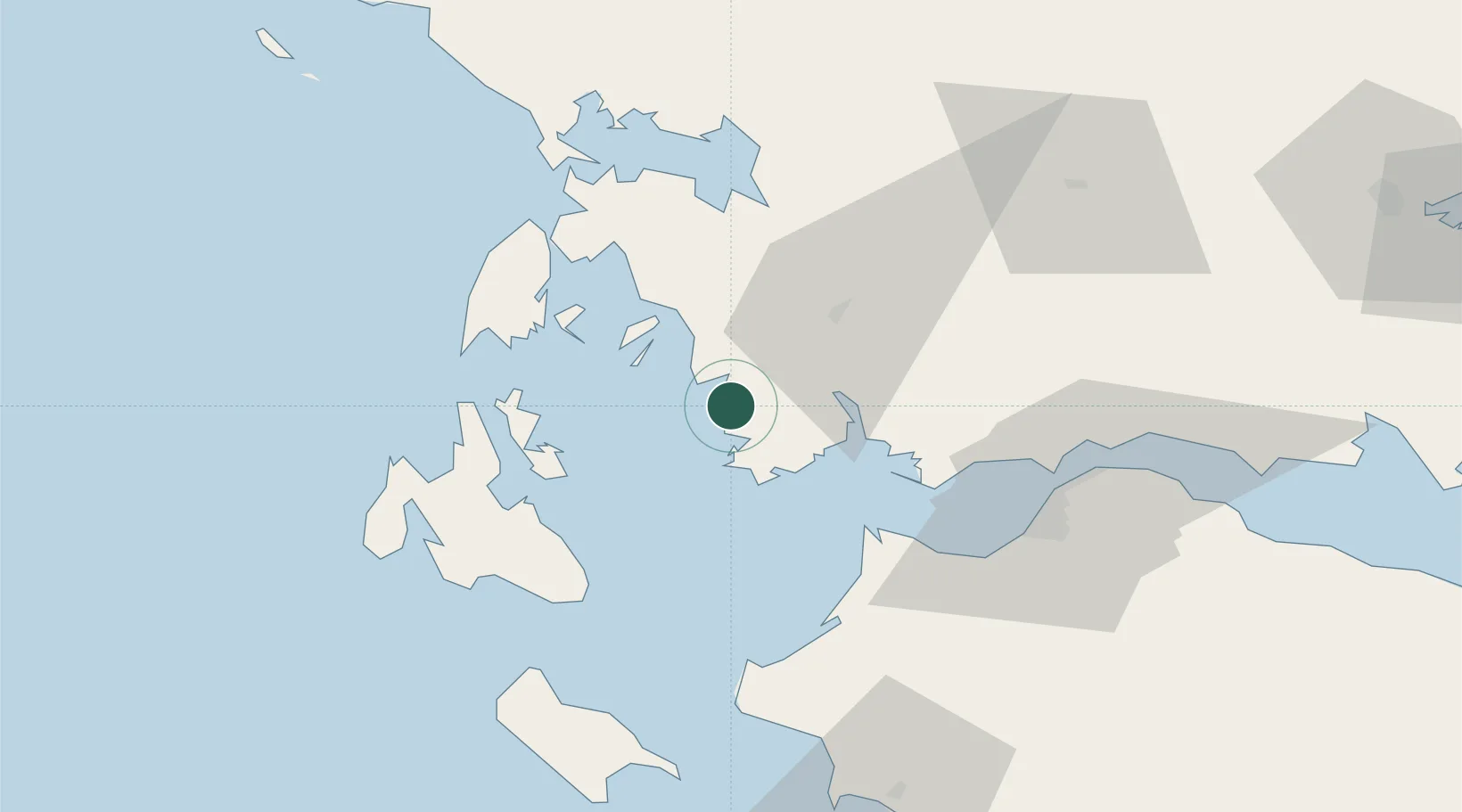
Location
Nearby Logistics Neighbours
Cities
- 1Astakós8 km
- 2Kastos Island19 km
- 3Aitolikon22 km
- 4Kalamos Island (Lefkada)23 km
- 5Mesolóngion31 km
Ports
- 1Astakos2 km
- 2Mesolongion30 km
- 3Argostolion60 km
- 4Patrai60 km
- 5Preveza62 km
Airports
Trade Zones
- 1Free Zone of Platigiali (Astakos Etoloakarnanias)1 km
- 2Gjirokastër Freezone196 km
- 3Përmet Freezone207 km
- 4Free Zone of Piraeus227 km
- 5Korçë Freezone243 km
DatabookThe Record of Consolidated Knowledge
Greece beyond logistics?